What is recorded here
Rathreagh Beg held a thirty-metre earthen ring on a gentle rise, visible enough for surveyors to map in 1923 before ploughs and patience erased its banner. What remains is a wider thirty-six-metre circle, marked by a scarped edge and shallow external ditch, its uneven ground still breathing beneath pasture. The fairy fort name suggests people once believed the site belonged elsewhere, yet the measured earth points to human hands, likely neighbourhood life, now reduced to a faint circular memory under grass.
On gentle rise, in undulating pasture. Monument, depicted as embanked circular enclosure (diam. c. 30m) on 1923 OS 6-inch map, has been levelled. However, it is now evident as circular area (diam. 36m) defined by scarped edge (H 0.45m; Wth 2.7m), with external fosse (Wth 1.6m; D 0.1m) E->NW. Interior and ground surrounding site is noticeable uneven, and under pasture.
Compiled by: Denis Power
Date of upload: 26 August 2011
The monument record does not grant public access. Check the route and ask the landowner before entering private land.
- What survives
- Recorded monument
Places near here
 Church in Rathreagh MoreChurch · 849 yd
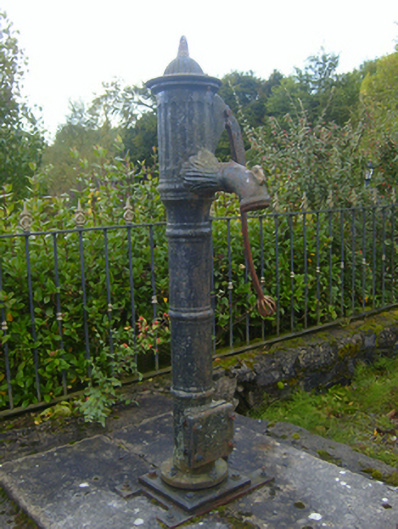 water pumpwater pump · 884 yd
 St. Lukes WellHoly well · 1169 yd
 St. Luke's WellSpring · 1176 yd
 Mound in Ballyegny BegMound · 1340 yd
 CahermoyleCastle, unclassified · 1631 yd
 St. Kieran's WellSpring · 1.2 mi
 Castle (in ruins)Castle, tower house · 1.2 mi
 European ashEuropean ash · 3.8 mi
 Limerick GreenwayWalking route · 6.2 mi
 Gammarel PointHeadland · 7.6 mi
 Sugar HillMountain / peak · 7.8 mi