What is recorded here
Rathneestin is a bawn in County Louth where a square castle and deep dyke vanished beneath soil and memory. It remains a castle field in local speech, not a ruin on a map. What is missing is not nothing; it is the part the land keeps back.
Field known locally as the 'Castle Field'. Reputedly the site of Niselrath Castle, a probable tower house, described in 1599 as 'a square castle and a great bawne with a good dytche rounde abowte it' (Paterson 1944, 321-2). No visible surface trace.
The above description is derived from both the published 'Archaeological Inventory of County Louth' (Dublin: Stationery Office, 1986) and the 'Archaeological Survey of County Louth' (Dublin: Stationery Office, 1991). In certain instances the entries have been revised and updated in the light of recent research.
Date of upload: 12 April 2012
Niselrath Castle, likely a tower house, was built in the late 16th century and is remembered for its description in 1599 as a fortified structure with a ditch, indicating its defensive role in the region.
The monument record does not grant public access. Check the route and ask the landowner before entering private land.
- What survives
- Recorded monument
Places near here
 RathneestinCastle, tower house · 16 yd
 Enclosure in RathneestinEnclosure · 406 yd
 Enclosure in Philipstown (ardee By., Philipstown Par.)Enclosure · 647 yd
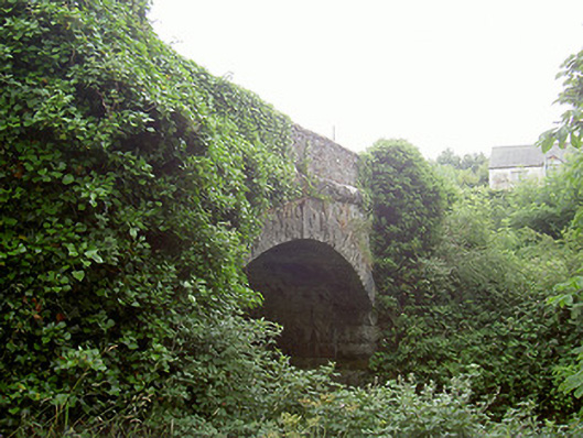 bridgebridge · 996 yd
 MoatCastle, motte and bailey · 1238 yd
 SycamoreSycamore · 1406 yd
 Catholic Church of Saint Peter and Saint Paulchurch/chapel · 1412 yd
 European YewEuropean Yew · 1662 yd
:no_upscale()/cdn.vox-cdn.com/uploads/chorus_asset/file/25593391/County_Louth_6th.jpg) LouthMountain / peak · 1.7 mi
LouthMountain / peak · 1.7 mi Flat cemetery in AnnaheanFlat cemetery · 3.9 mi
 Sir Frederick Foster MemorialMemorial · 4.9 mi
 Matthew's HillMountain / peak · 5.1 mi