What is recorded here
Embanked enclosure is a fairy fort or earthen ringfort in Rathnarovanagh, County Roscommon, Ireland. It occupies the bottom of a gentle south-west-facing drumlin slope and measures forty-nine metres north-west to south-east by forty-four metres north-east to south-west. An overgrown earthen bank, scarp and hedge define the subcircular grass-covered area, while a re-cut drain follows the eastern, southern and north-western edge. A narrow north-east entrance and a central field bank remain inside the ancient boundary.
Towards the bottom of the gentle SW-facing slope of a drumlin. Subcircular grass-covered area (dims 49m NW-SE; 44m NE-SW) defined by an overgrown earthen bank (at SW: Wth 3.5m; int. H 0.3m; ext. H 1.1m) SE-W-NNW, and elsewhere by a scarp (at NE: H 1.1m) and hedge. The fosse (at NE: Wth of top 3.9; Wth of base 1.7m; D 0.9m; at SW: Wth of top 4.4m; Wth of base 2.8m; D 0.4m) E-S-NW is re-cut as a drain NW-E. There is an outer bank (at SW: Wth 1.9m; int. H 0.4m; ext. H 0.3m) SW-WNW, and a NW-SE field bank bisects the interior. There are modern entrances (Wth 2-2.5m) at S and NW, but the original entrance (Wth 0.9m) is at NE.
Compiled by: Michael Moore
Date of upload: 24 August 2010
The monument record does not grant public access. Check the route and ask the landowner before entering private land.
- What survives
- Recorded monument
Places near here
 Embanked enclosureEnclosure, large enclosure · 1215 yd
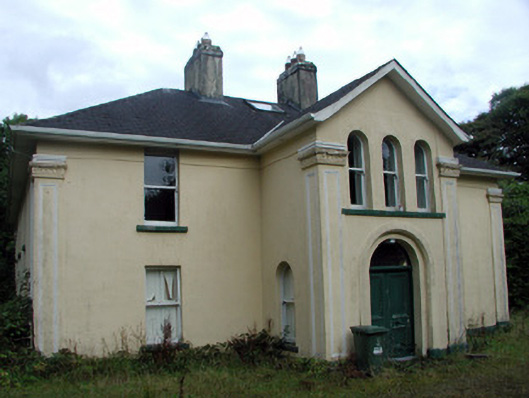 Tully Lodgehouse · 1504 yd
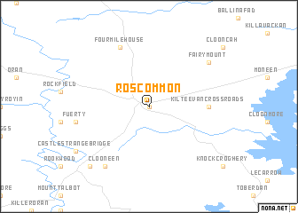 IndicatedEnclosure · 1532 yd
 Site of Dangan CastleCastle, unclassified · 1571 yd
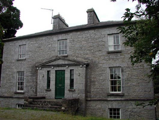 The Old Rectoryrectory/glebe/vicarage/curate's house · 1.0 mi
 Hat IslandIslet · 1.8 mi
 Garrymond IslandIslet · 2.0 mi
 Coarse IslandForest · 2.2 mi
 Mullinashee WoodForest · 2.4 mi
 Tom Dunphy MemorialMemorial · 3.3 mi
 Patrick Gill Memorial Plaque (IRA)Monument · 3.3 mi
 Moon RiverHeritage attraction · 4.9 mi