What is recorded here
Indicated was a circular embanked enclosure on a Mayo ridge, visible on maps until the early 1900s when people levelled it for pasture. It stood twenty-five to thirty metres across, facing every direction, perhaps watching roads, herds or passing storms. Only slight undulations remain now, but the ridge still holds the shape of what was removed.
In pasture, located on ridge, with excellent views in all directions. Shown on the 1838 and 1930 OS 6-inch maps as circular embanked enclosure (diam. c. 25-30m), probably a ringfort. According to local information, this enclosure was levelled in the early 20th century. Slight surface undulations mark the location.
Compiled by: Jane O’Shaughnessy
Date of upload: 27 January 2020
The monument record does not grant public access. Check the route and ask the landowner before entering private land.
- What survives
- Recorded monument
Places near here
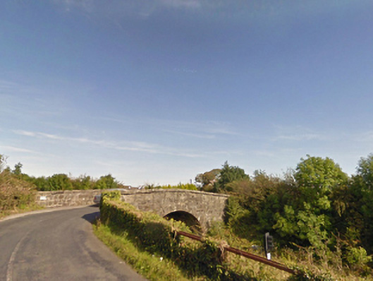 bridgebridge · 804 yd
 IndicatedFairy fort / earthen ringfort · 1136 yd
 Dolmen of the four MaolsArchaeological place · 1.2 mi
 Ballina Railway Stationrailway station · 1.3 mi
 CastleCastle, unclassified · 1.3 mi
 Gull IslandIslet · 1.7 mi
 Humbert MonumentMemorial · 1.8 miBattle of Ballinabattle · 1.8 mi
 Belleck CastleCastle, unclassified · 2.2 mi
 The Marshall Doran CollectionGallery · 3.0 mi
 Belleek WoodsWood · 3.2 mi
 FloretteWreck · 3.2 mi