What is recorded here
Indicated is a poorly preserved circular enclosure in County Galway, Ireland, where a low grassed-over bank still marks a twenty-three-metre boundary despite modern roads and dumped gravel pressing against its northern edge. It may have been a dwelling, a boundary marker or a forgotten ritual place, but human hands have repeatedly crossed it, fenced it, buried part of it and driven vehicles through the land it once held. What remains is not a polished monument but a living trace, still visible beneath pasture and traffic because the earth has not fully forgotten the shape people made there.
In gently undulating pastureland. Poorly preserved circular enclosure (diam. 23m) defined by a low
grassed-over bank (Wth 3m; H <0.3m). On inspection in November 1986 a field fence overran the bank at N and immediately to its N a roadway ran roughly E-W. On re-inspection in March 2006 it was noted that the N sector was under some dumped soils and gravels that were partly laid over it to create a firm entranceway from the roadway for heavy vehicles using a roadway to its W which accessed a gravel pit further to the S.
Compiled by: Galway Archaeological Survey, UCG
Date of upload: 6 August 2019
The monument record does not grant public access. Check the route and ask the landowner before entering private land.
- What survives
- Recorded monument
Places near here
 IndicatedBawn · 849 yd
 Enclosure in OldcastleEnclosure · 991 yd
 MoteCastle, motte and bailey · 1042 yd
 R.C. ChapelChapel · 1147 yd
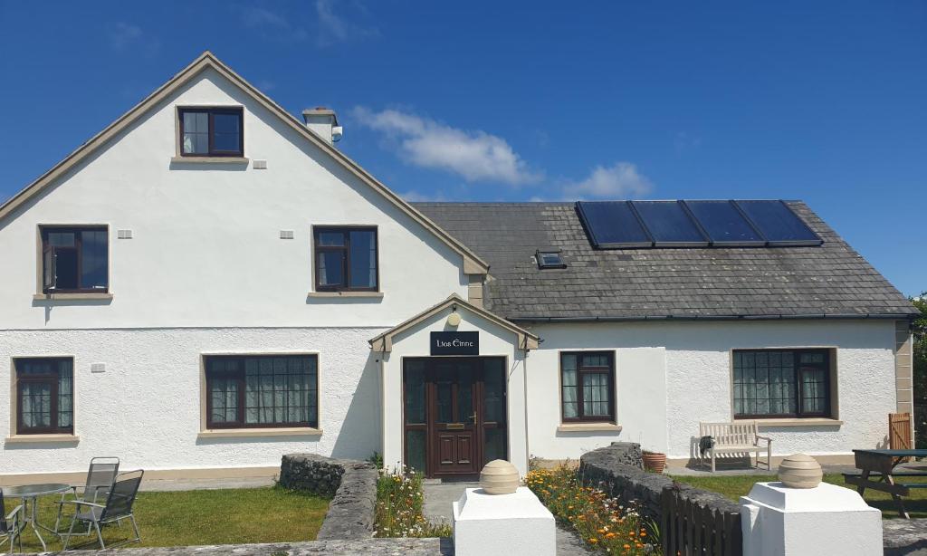 Lios na GalFairy fort / earthen ringfort · 1159 yd
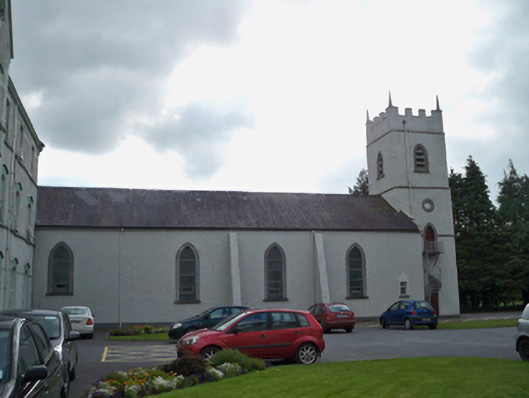 Saint Patrick's Redemptorist Monasterychurch/chapel · 1466 yd
 Moyard WoodWood · 1.1 mi
 Athenry AbbeyHeritage attraction · 3.1 mi
 Athenry CastleHeritage attraction · 3.2 mi
 Horse-chestnutHorse-chestnut · 3.4 mi
 First Battle of Athenrybattle · 3.8 mi
 Barrack IslandIslet · 6.8 mi