What is recorded here
This is the record for the pits, gullies, ditches etc. excavated by James Eogan and Richard N. O’Brien (97E0075). The occupation of this part of the site stretched from the late Neolithic/early Bronze Age with the persence of Beaker pottery, through to the late Bronze Age/early Iron Age as attested by radiocarbon dates and the artefact assemblage recovered from the various features. (Eogan and O'Brien 2005)
Compiled by: Denis Power
Date of upload: 24 January 2013
The monument record does not grant public access. Check the route and ask the landowner before entering private land.
- What survives
- Recorded monument
Places near here
 Church (in Ruins)Church · 206 yd
 Rathdown Castle (in ruins)Castle, unclassified · 395 yd
 North BeachBeach / strand · 836 yd
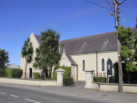 Saint Kilian's Catholic Churchchurch/chapel · 1007 yd
 KnockrathFairy fort / ringfort · 1255 yd
 Greystones WayWalking route · 1525 yd
 The CoveBeach / strand · 1644 yd
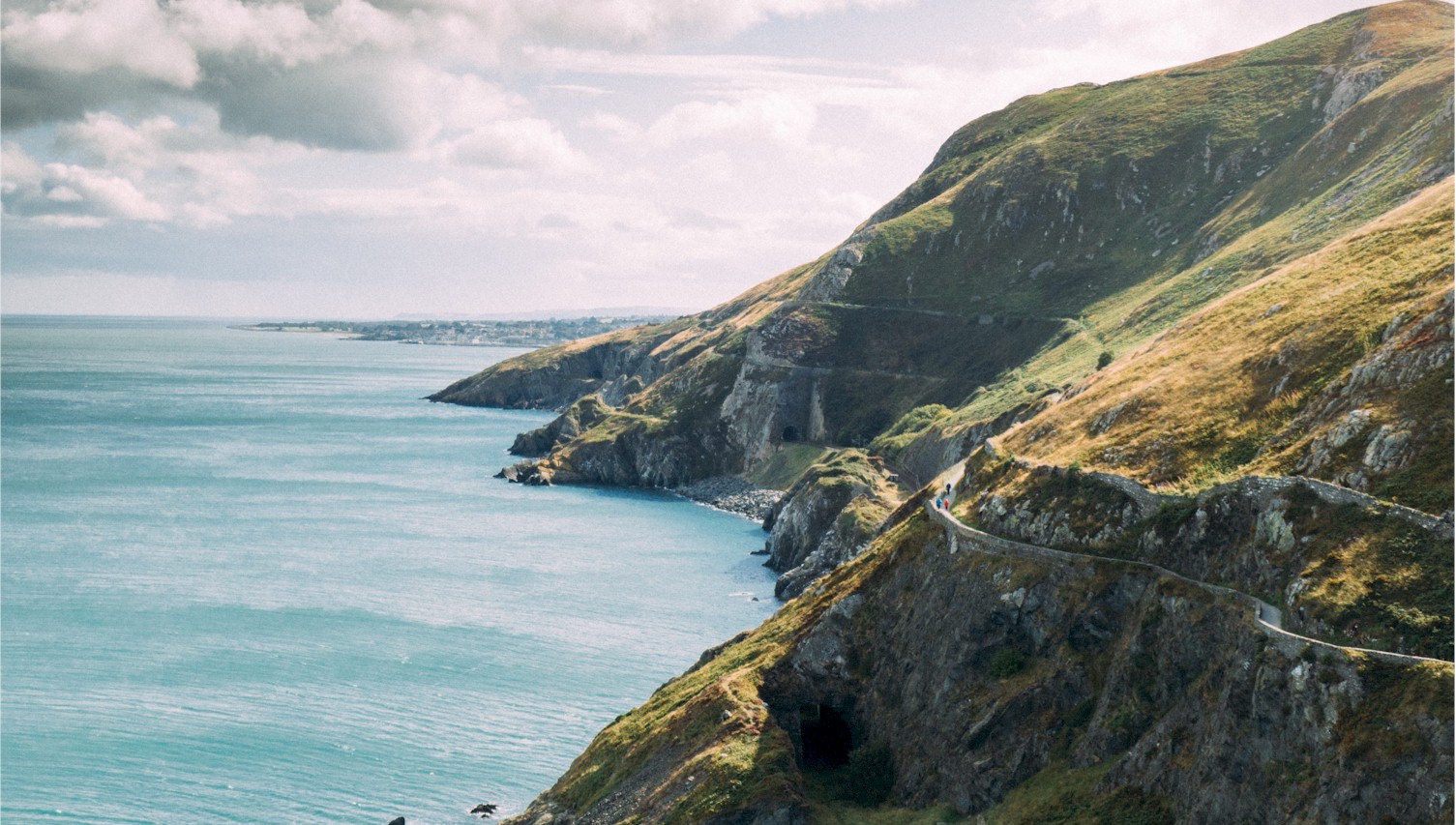 Bray Greystones Cliff WalkWalking route · 1.0 mi
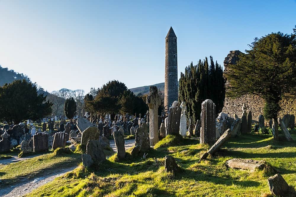 IndicatedHillfort · 1.1 mi
 Kindlestown WoodForest · 1.1 mi
 Kindlestown Castle (in ruins)Castle, hall-house · 1.2 mi
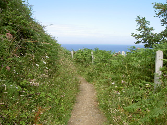 Bray Greystones ViewViewpoint · 1.3 mi