What is recorded here
Grave Yard stands on the south east edge of Rathcormack village, a rectangular field of dead people stretching sixty-five metres from north east to south west. Its oldest stone marks 1710, but most heads cluster around the late 1700s, when the parish still breathed and buried without hesitation. The Church of Ireland building nearby occupies the ancient parish site, yet the graves remain the older truth, holding names and dates that outlasted every roof built above them.
On SE side of Rathcormack village; rectangular graveyard (c. 65m NE-SW; c. 55m NW-SE); in occasional use. Many late 18th century headstones, according to Power (1923, 192) earliest dated 1710. NE of centre C of I church (CO044-04902-) on site of ancient parish church of Rathcormack.
The above description is derived from the published 'Archaeological Inventory of County Cork. Volume 2: East and South Cork' (Dublin: Stationery Office, 1994). In certain instances the entries have been revised and updated in the light of recent research.
Date of upload/revision: 14 January 2009
The monument record does not grant public access. Check the route and ask the landowner before entering private land.
- What survives
- Recorded monument
Places near here
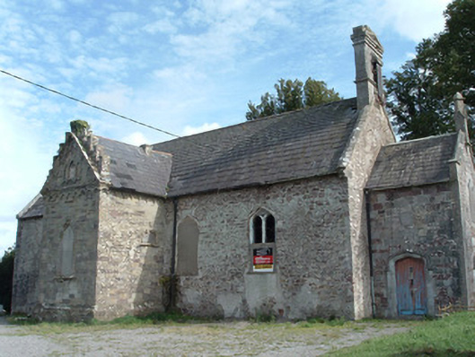 Christ Churchchurch/chapel · 14 yd
 Enclosure in RathcormackEnclosure · 52 yd
 M. Riordan Bakerhouse · 127 yd
 Fulacht fia in Lisnagar DemesneFulacht fia · 1430 yd
 Tower (in Ruins)Bawn · 1.1 mi
 Rathcormac massacremassacre · 2.1 mi
 Pope's WellSpring · 2.7 mi
 Corrin WoodsWood · 2.7 mi
 Coolmucy WoodWood · 3.2 mi
 Devonshire's HillMountain / peak · 3.5 mi
 Cappagh XViewpoint · 3.7 mi
 Graveyard in FermoyGraveyard · 4.2 mi