What is recorded here
Fairy fort / earthen ringfort in Rathconrath is a fairy fort or earthen ringfort in Rathconrath, County Westmeath, Ireland. Situated on a prominent rise in pasture, it offers excellent views to the northwest and appears on a 1776 estate map as a circular earthwork. The 1837 Ordnance Survey map depicts an oval-shaped enclosure measuring 29 metres north to south and 26.5 metres east to west, located south of police barracks with a second building immediately to the north. A 1956 account described the site as a yard or garden possibly associated with that building, while a 1970 survey noted no surface remains visible, and later aerial photography shows it as a D-shaped, tree-planted area.
Situated on a prominent rise, in pasture, with excellent views to NW. Depicted on the 1837 ed. OS 6-inch map as an oval-shaped enclosure (dims. 29m N-S; 26.5m E-W) to S of Police Barracks with second building immediately to N. A circular-shaped earthwork is depicted on an estate map of Rathconrath dating from 1776 (NLI, MS 21 F. 48 (026) ). Described in 1956 as a yard or garden possibly associated with the building depicted on the 1837 OS map (OPW Report 09/02/1956). Site of ringfort possible described in 1970 as no surface remains visible. Levelled ringfort visible as a D-shaped tree-planted area on Digital Globe aerial photography.
Compiled by: Alison McQueen, Vera Rahilly and Caimin O’Brien
Date of upload: 24 January 2019
The monument record does not grant public access. Check the route and ask the landowner before entering private land.
- What survives
- Recorded monument
Places near here
 Mweeleen MoatArchaeological place · 245 yd
 Partially hachuredFairy fort / earthen ringfort · 292 yd
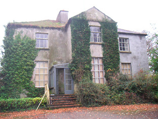 Rathconrath Houserectory/glebe/vicarage/curate's house · 376 yd
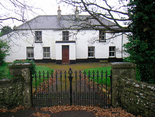 Ballyglass Househouse · 520 yd
 RathconrathCastle, motte · 718 yd
 CastleCastle, unclassified · 873 yd
 Ancient Ring FortWood · 1010 yd
 Hill of UisneachMountain / peak · 2.9 mi
 European ashEuropean ash · 3.7 mi
 Abbeyshrule AbbeyRuins · 6.5 mi
 Guest ServicesVisitor information · 7.7 mi
 Goldsmith Birthplace, PallasVisitor information · 7.9 mi