
What is recorded here
Lisheengorm is a small rectangular field behind two houses in County Limerick, not an ancient ringfort. It disappeared from maps between 1840 and 1897 after local people levelled the boundary, erasing the very enclosure they had named.
In pasture, at the rear of two modern dwellings, ringfort known locally as 'Lisheengorm' (LI039-017----) lies 220m to the W. Depicted on the 1840 ed. OSi 6-inch map as a sub-rectangular shaped area (dims. c. 20m N-S; 27m E-W) enclosed by a field-boundary. Not shown as an antiquity on this map but as a small sub-rectangular shaped field. Not marked on 1897 ed. OSi 25-inch map, likely that the small field levelled between these map dates. In 2000 test excavations were carried out under licence No. 00E0840 by Rose Cleary to the S of the enclosure and no archaeological features or finds were uncovered (Cleary 2002, 201). No surface remains visible on OSi orthophotograph taken between 2005-12 and on Google Earth orthoimages. Remain of a small post-medieval field and not the remains of an antiquity.
See attached Google Earth orthoimages
Compiled by: Fiona Rooney
Date of upload: 14 April 2021
The monument record does not grant public access. Check the route and ask the landowner before entering private land.
- What survives
- Recorded monument
Places near here
 BarrowBarrow, unclassified · 804 yd
 Bawn in Ballycullane (kilmallock By.)Bawn · 817 yd
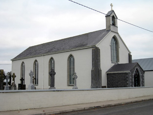 Catholic Church of Saint John the Baptistchurch/chapel · 1381 yd
 Glebe Houserectory/glebe/vicarage/curate's house, gate lodge · 1488 yd
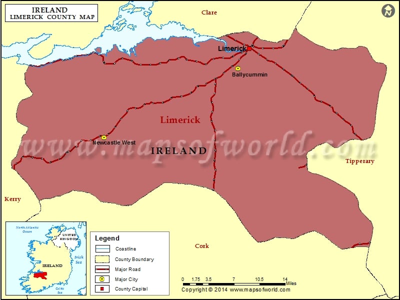 Field system in Clogher WestField system · 1559 yd
 Athlacca Ho. (in ruins)Castle, unclassified · 1.1 mi
 King John's CastleCastle · 4.0 mi
 Monasteranenagh AbbeyHeritage attraction · 4.9 mi
 European ashEuropean ash · 5.4 mi
 St Bridget's WellSpring · 5.7 mi
 Flat cemetery in Knockainy WestFlat cemetery · 7.8 mi
 Ballinvreena LoopVisitor information · 9.2 mi
Other information
Photo: Credit not shown in the picture search · Rights wording not checked; contact us if this picture should be removed