What is recorded here
Partially hachured is a D-shaped enclosure in County Limerick, Ireland, reduced to a faint cropmark after the L1411 cut through its northern edge. The 1840 survey still counted it among ten ancient forts in the townland, but the road and pasture have since erased most of its shape. What remains is a shallow shadow in the grass, wide enough to suggest a boundary but no longer clear enough to show who stood inside it.
In pasture, truncated at N by the L1414, enclosure (LI039-150----) lies 230m to the SW. Not depicted on the 1840 ed. OSi 6-inch map. Shown on the 1897 ed. OSi 25-inch map as a D-shaped area (dims. c. 10m N-E; 19m E-W) defined by a scarp and external fosse, truncated at N by public road running E-W. In 1840 the Ordnance Survey recorded this monument as ‘one of ten ancient forts’ in the townland (OSNB Abbeyfeale to Bruree, 139). Levelled monument visible as D-shaped cropmark on OSi orthophotograph taken between 2005-12 and on Google Earth orthoimages.
See attached Google Earth orthoimages.
Compiled by: Fiona Rooney
Date of upload: 14 April 2021
The monument record does not grant public access. Check the route and ask the landowner before entering private land.
- What survives
- Recorded monument
Places near here
 CaheradrominFairy fort / earthen ringfort · 900 yd
 ExcavationExcavation, miscellaneous · 966 yd
 OutlinedBawn · 1603 yd
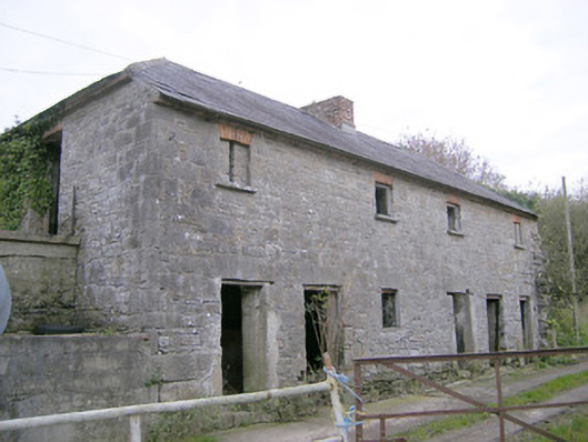 Camas Houseoutbuilding, bridge · 1.2 mi
 Church in Crean (smallcounty By.)Church · 1.9 mi
 Bawn in Ballycullane (kilmallock By.)Bawn · 2.0 mi
 Lough GurVisitor information · 4.0 mi
 Grange Stone CircleArchaeological place · 4.0 mi
 Pedunculate OakPedunculate Oak · 4.9 mi
 Lough Gur Heritage CentreVisitor information · 5.1 mi
 The SpectaclesVisitor information · 5.1 mi
 European ashEuropean ash · 5.3 mi