What is recorded here
Marianne and the unknown man climbed the overgrown bank at Rathanker, entering the circular fort through the eastern break. They walked past the underground passage and sat beside the slight northern depression while marbles rolled across the grass. She asked why he had come so far to watch an empty field. He said he had come to remember the shape of a place that still kept its boundary.
In pasture, on S-facing slope. Roughly circular area (35.3m N-S; 32.5m E-W) defined by heavily overgrown earthen bank (H 1.85m) SE->SW; low rise elsewhere, with slight depression externally to NW. Break in low rise to NW and E. Man-made underground passage (CO087-097---) in interior.
The above description is derived from the published 'Archaeological Inventory of County Cork. Volume 2: East and South Cork' (Dublin: Stationery Office, 1994). In certain instances the entries have been revised and updated in the light of recent research.
Date of upload/revision: 14 January 2009
The monument record does not grant public access. Check the route and ask the landowner before entering private land.
- What survives
- Recorded monument
Places near here
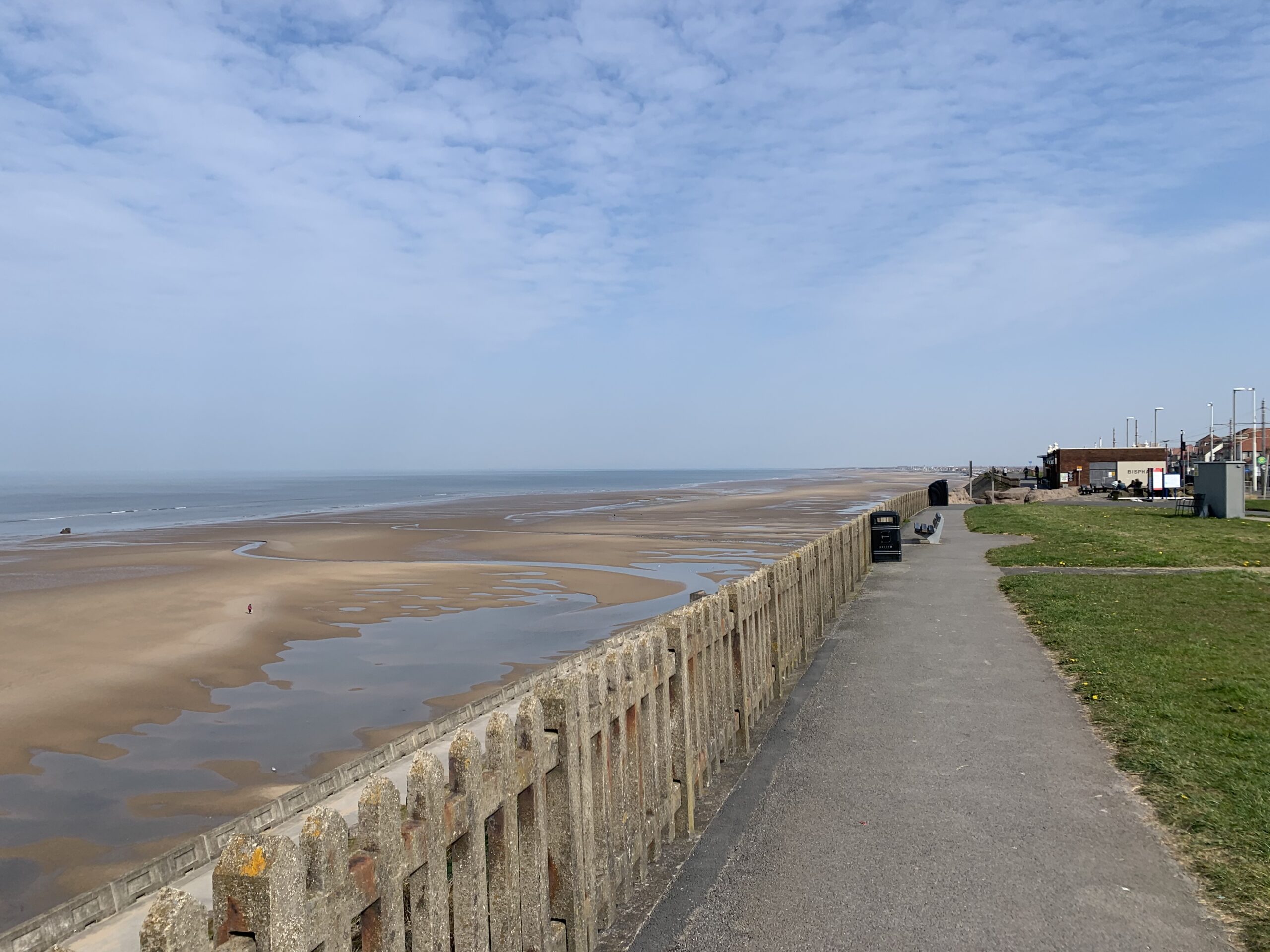 Fulacht fia in ParkgarriffFulacht fia · 787 yd
 Church (in Ruins)Church · 973 yd
 Ardmanaghhouse · 1312 yd
 IndicatedFairy fort / earthen ringfort · 1477 yd
 Passage West Maritime MuseumMuseum · 1.1 mi
 Rochestown WoodWood · 1.7 mi
 Lough MahonBay · 1.9 mi
 Thomas Kent StationMemorial · 5.4 mi
 150th Anniversary of Railways in CorkMemorial · 5.5 mi
 Cork WalksVisitor information · 5.7 mi
 Rockvillehouse · 1314 yd
 Woodbine Lodgehouse · 1316 yd