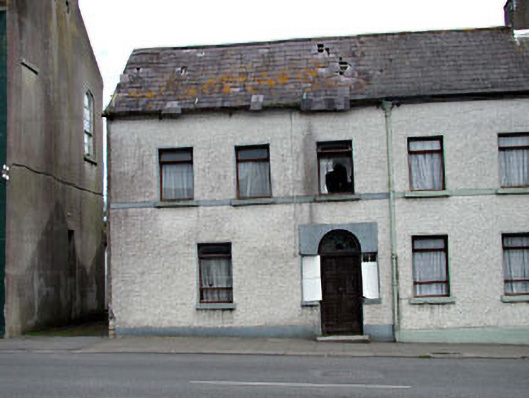
What is recorded here
End-of-terrace three-bay two-storey house with dormer attic, c.1790. Refenestrated, c.1980. Now disused and derelict. One of a pair. Gable-ended roof with slate. Clay ridge tiles. No chimney stacks. Cast-iron rainwater goods on eaves course. Roughcast walls. Unpainted. Rendered string/sill course to first floor. Square-headed window openings. Stone sills. Replacement timber casement windows, c.1980. Round-headed door opening with rendered panel over. Replacement timber panelled door, c.1980. Sidelights (now boarded-up). Decorative fanlight. Road fronted. Concrete flagged footpath to front. Laneway along side elevation to north-west.
This house, built as one of a pair, is of social and historic interest as part of a group of late eighteenth-century terraced houses that form the core of the earliest part of Rathangan. Built as one of a pair with the house immediately to south-east (11810045/KD-17-10-45), the house has been extensively renovated over the years leading to the loss of much of the early fabric, although the original form remains intact. Now disused and in an advanced state of dereliction, the construction is sound and the house is ideally suited for restoration and inhabitation. The house is an integral component of the streetscape of Leinster Street, continuing the established streetline of the terrace and forming an attractive termination point to that terrace, while contributing to the undulating roofline of the north-west end of the street.
This does not grant access. Most recorded buildings are privately owned; view them only from public ground unless the owner allows entry.
Places near here
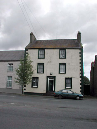 Rathangan Garda Síochána Stationhouse · 13 yd
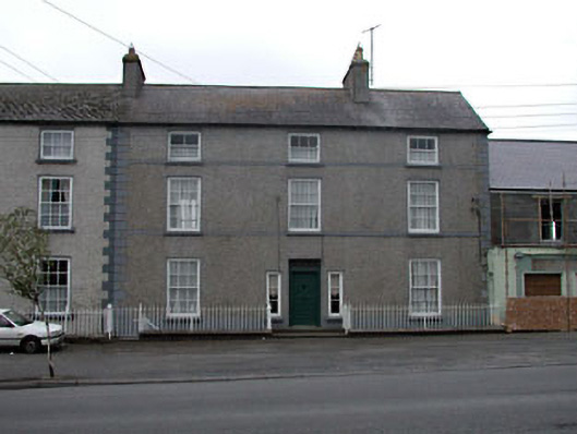 Clonlara Househouse · 39 yd
 Bithia Mary CrokerMemorial · 51 yd
 An Rath Ring FortArchaeological place · 199 yd
 Site of CastleCastle, tower house · 461 yd
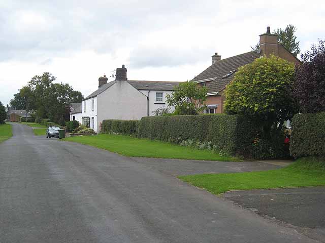 Enclosure in Newtown (killinthomas Ed)Enclosure · 609 yd
 Community OrchardNature reserve · 669 yd
 Offaly CastleCastle, tower house · 1.1 mi
 Killinthomas Wood (Rathangan)Wood · 1.4 mi
 The Fairy BowerHeritage attraction · 3.8 mi
 Lullymore Heritage ParkHeritage attraction · 3.9 mi
 Sli na Slainte - mapVisitor information · 4.5 mi
Other information
Photo: National Inventory of Architectural Heritage · Website use allowed for educational or private purposes with source credit