What is recorded here
Fort Hill in Derrybrusk, County Fermanagh, is a rath, an ancient earthwork that still stands where human hands shaped the land long before modern borders drew their lines. The hill may have served as a refuge, a boundary marker, or a quiet stage for seasonal life, its purpose blurred by centuries but its presence unchanged. To walk its edge is to touch the patience of soil that has outlasted every kingdom and forgotten name.
The official Northern Ireland record identifies this as RATH: FORT HILL. Recorded period: E.CHRIST.. The official map point was placed at the centre of the recorded archaeological site from the source map reference.
The monument record does not grant public access. Check the route and ask the landowner before entering private land.
- What survives
- Recorded monument
Places near here
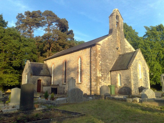 Derrybrusk Church (In ruins)Ruins · 768 yd
 HOLY WELL: ST PATRICK'S WELL in DerryvullanHOLY WELL: ST PATRICK'S WELL · 1.0 mi
 large oval enclosure in Knock Islandlarge oval enclosure · 1.1 mi
 Old Church RuinsRuins · 1.1 mi
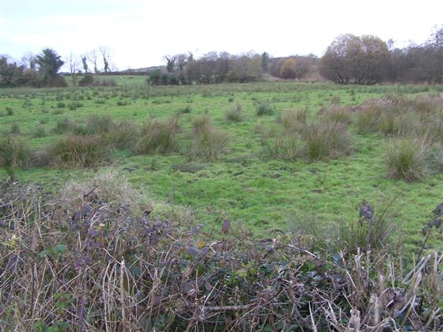 Knock IslandIsland · 1.2 mi
 Cleenish IslandIsland · 1.5 mi
 Toners WoodWood · 1.7 mi
 Blackbog WoodWood · 1.8 mi
 Inishbeg HillMountain / peak · 2.5 mi
 The Ice HouseHeritage attraction · 2.7 mi
 Castle CooleCountry House · 3.0 mi
 Battle of the Ford of the Biscuitsbattle · 3.3 mi