What is recorded here
Mnemo records fact. Arcana tools may use that fact in an interactive game, but they must not claim to know the hidden story. The stone is no longer visible, so the game should show an empty marker and ask the player to imagine what the stone witnessed.
This standing stone was extant in the early 1980’s when it was described as follows: ‘A standing stone, triangular in plan at base and almost 1m high. Situated on the S facing slope of a hill overlooking the Lagan Valley.’ (Lacy et al. 1983, 84, no. 449). It was subsequently removed and there is now no visible trace at ground level (Ryan Hanley 2020, 309 (11-25)).
Compiled by: Jane O’Shaughnessy
Date of revised upload: 27 January 2021
This remains an important historical record, but the official description says the monument is no longer visible or has been destroyed. The monument record does not grant public access. Check the route and ask the landowner before entering private land.
- What survives
- No visible remains or recorded as destroyed
Places near here
 IndicatedHoly well · 225 yd
 Victor Holmes and Sonshouse · 554 yd
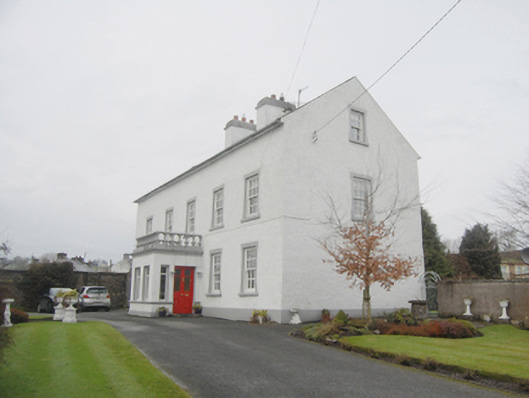 The Closehouse · 560 yd
 CathedralCathedral · 651 yd
 PalaceHouse, fortified house · 736 yd
 Mongorry HillMountain / peak · 1.5 mi
 Feddyglass WoodWood · 2.6 mi
 CastleCastle, unclassified · 3.6 mi
 Carnowen HillMountain / peak · 3.7 mi
 BATTLE SITE: BATTLE OF THE FORDS, Central crossing, 1689 in Magirr; Town Parks OF StrabaneBATTLE SITE: BATTLE OF THE FORDS, Central crossing, 1689 · 5.6 mi
 Lurgybrack Open FarmHeritage attraction · 5.6 mi
 Dry Arch MonumentHeritage attraction · 6.0 mi