What is recorded here
No visible surface survives, but beneath the school and playing field in Rakerin, a subcircular earthwork once clipped a road and hid a cave. Children now run where an unknown ringfort stood, their feet pressing the same soil that held a chamber no longer named. The fort disappeared under pasture and progress, yet it still shapes the ground they play upon.
In level reclaimed pastureland. Marked on the 1838 edition of the OS 6-inch map as a subcircular enclosure (c. 47m NW-SE; c. 45m N-S) which was clipped by a NW-SE running road from N to SE. A ‘Cave’ (GA123-082001) is shown within the N sector of the interior. No visible surface survives. The site is now occupied by a school and playing field.
Compiled by: Galway Archaeological Survey, UCG
Date of upload: 31 July 2019
The monument record does not grant public access. Check the route and ask the landowner before entering private land.
- What survives
- Recorded monument
Places near here
 ‘Tobermacduagh’Holy well · 468 yd
 Saint Columba's Catholic Churchchurch/chapel · 893 yd
 Enclosure in CarraghEnclosure · 1060 yd
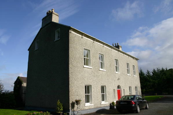 Cloon Housecountry house · 1407 yd
 Bawn in BallyconnellBawn · 1.3 mi
 CastleCastle, unclassified · 1.4 mi
 Beagh IslandWood · 1.7 mi
 Rick's IslandWood · 1.9 mi
 Castle IslandIsland · 2.2 mi
 Holly IslandIslet · 2.2 mi
 Kilmacduagh Monastic SiteVisitor information · 4.5 mi
 Kilmacduagh MonasteryHeritage attraction · 4.6 mi