What is recorded here
In improved, level pasture. No visible surface trace. Irregular, poorly drained area at location of monument. Depicted on latest edition OS 6-inch map as a horseshoe-shaped area (dims. c. 25m NNE-SSW; c. 22m WNW-ESE) defined by bank E-WNW and truncated by field boundary (long-axis WNW-ESE) across NE-sector. According to Cahill (1982, R371) monument was in a fair condition with one bank and one ditch.
Compiled by: Jean Farrelly
Date of upload: 26 August 2011
The monument record does not grant public access. Check the route and ask the landowner before entering private land.
- What survives
- Recorded monument
Places near here
 Enclosure in Railstown (railstown Par.)Enclosure · 166 yd
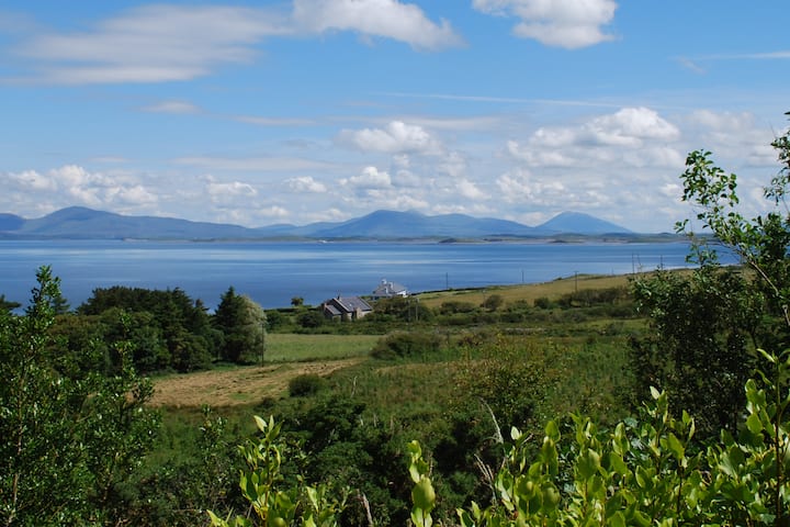 Enclosure in KilsallaghEnclosure · 619 yd
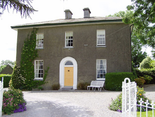 Sandygrove Househouse · 699 yd
 Railstown Church (in ruins)Church · 889 yd
 Bawn in Ballyduagh (railstown Par.)Bawn · 1679 yd
 CastleCastle, ringwork and bailey · 1.4 mi
 Ballyknock HillMountain / peak · 3.6 mi
 Cashel Folk MusuemMuseum · 3.7 mi
 Black mulberryBlack mulberry · 3.7 mi
 The Rock Of CashelVisitor information · 3.8 mi
 Cormac's ChapelHeritage attraction · 3.8 mi
 European YewEuropean Yew · 5.2 mi