What is recorded here
The official Northern Ireland record identifies this as THOMPSON GRAVING DOCK - c.f. IHR 10486'B for details. Recorded period: C19TH. Recorded protection: Scheduled. The official map point was placed at the centre of the recorded archaeological site from the source map reference.
The monument record does not grant public access. Check the route and ask the landowner before entering private land.
- What survives
- Recorded monument
Places near here
 Thompson Dock Pump HouseMuseum · 100 yd
 HMS CarolineHeritage attraction · 197 yd
 Titanic TrailWalking route · 1212 yd
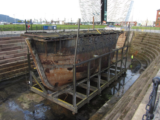 Hamilton Dock CaissonVisitor information · 1223 yd
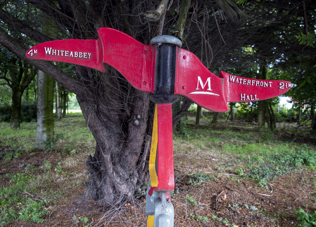 Millennium MilepostVisitor information · 1333 yd
_-_geograph.org.uk_-_2390151.jpg?width=1280) Jennymount MillMill · 1492 yd
Jennymount MillMill · 1492 yd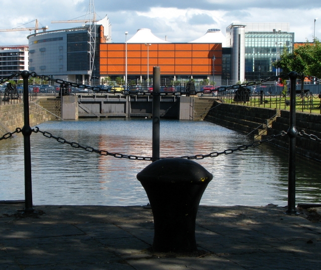 Graving Dock in Town Parks (belfast)Graving Dock · 1.0 mi
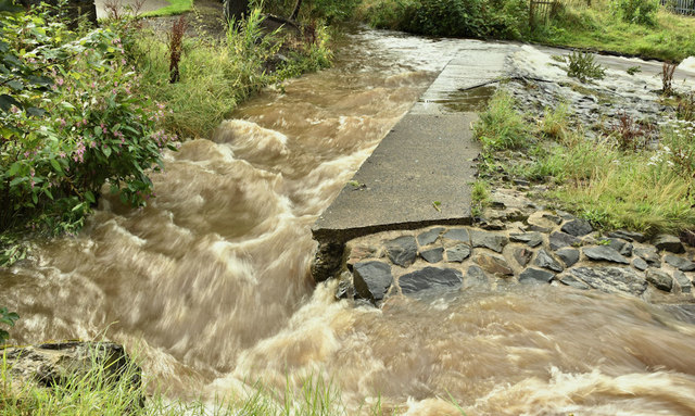 The HollowWood · 1.7 mi
 Lord Dufferin MonumentMonument · 1.8 mi
 CenotaphMonument · 1.8 mi
 Titanic SlipwayHeritage attraction · 883 yd
 Titanic BelfastHeritage attraction · 1064 yd