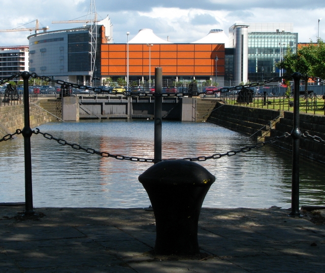
What is recorded here
The official Northern Ireland record identifies this as Graving Dock. Recorded period: C18TH/C19TH. Recorded protection: Scheduled. The official map point was placed at the centre of the recorded archaeological site from the source map reference.
The monument record does not grant public access. Check the route and ask the landowner before entering private land.
- What survives
- Recorded monument
Places near here
_-_geograph.org.uk_-_3865125.jpg?width=1280) Belfast Harbour OfficeOffice · 103 yd
Belfast Harbour OfficeOffice · 103 yd Sinclair Seamen's Presbyterian ChurchChurch · 142 yd
 W5Museum · 446 yd
 SSE ArenaHeritage attraction · 535 yd
 The Belfast BuoysVisitor information · 573 yd
 Hamilton Dock & SD NomadicVisitor information · 638 yd
 Titanic TrailWalking route · 662 yd
 McGurk's Bar bombingbomb attack · 694 yd
 1972 Donegall Street bombingbomb attack · 695 yd
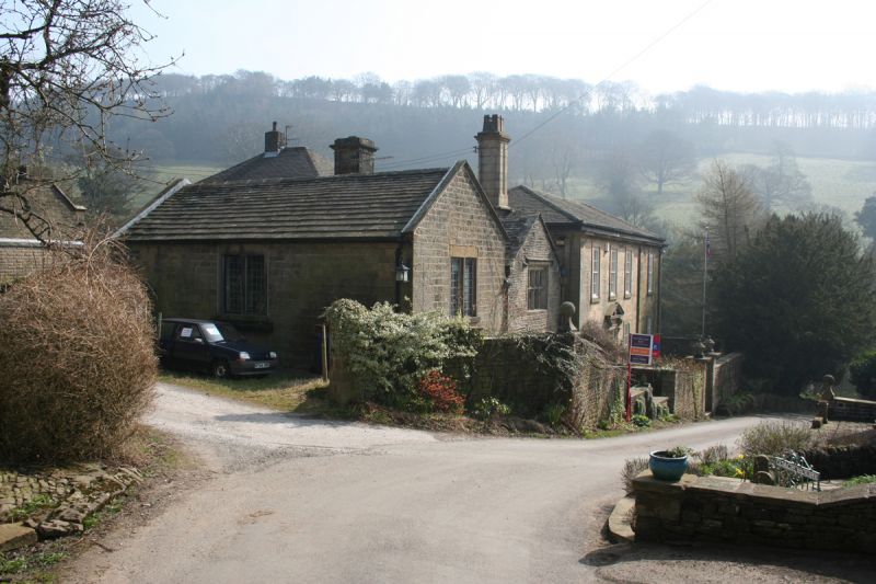 MEDIEVAL & EARLIER CHURCH SITE: CHAPEL OF THE FORD in Town ParksMEDIEVAL & EARLIER CHURCH SITE: CHAPEL OF THE FORD · 749 yd
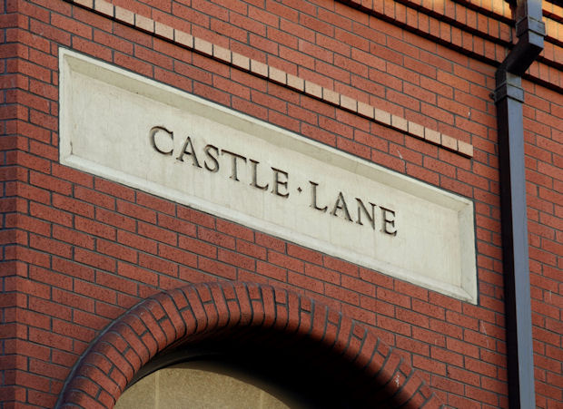 C17TH CASTLE: BELFAST CASTLE in Town ParksC17TH CASTLE: BELFAST CASTLE · 1004 yd
_-_geograph.org.uk_-_4211162.jpg?width=1280) Custom HouseOffice · 531 yd
Custom HouseOffice · 531 ydOther information
Photo: Rossographer · CC BY-SA 2.0