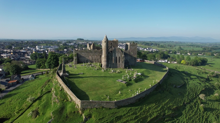
What is recorded here
In undulating pastureland. A hachured area marked on the 1930 edition of the OS 6-inch map, and cut by a NNW-SSE running road, proved on inspection in 1984 to be a gravel pit. The field to the E of the road had been ploughed and only a shallow depression was evident.
Compiled by: Olive Alcock
Date of upload: 7 July 2014
The monument record does not grant public access. Check the route and ask the landowner before entering private land.
- What survives
- Recorded monument
Places near here
 TobernambraherHoly well · 440 yd
 Church in Cashel (tiaquin By.)Church · 489 yd
 Enclosure in Boyounagh BegEnclosure · 1672 yd
 Lacka Valeahaubar Br.Bridge · 1.3 mi
 Castle in ruinsCastle, unclassified · 1.4 mi
 CastleCastle, unclassified · 2.2 mi
 Rook HillMountain / peak · 4.0 mi
 Slieve DartMountain / peak · 4.7 mi
 Site of Killomaine Grave YardArchaeological place · 7.2 mi
 Ballinlass Eviction MemorialMemorial · 11 mi
 Wych ElmWych Elm · 11 mi
 Cloonavihony WoodForest · 11 mi
Other information
Photo: Credit not shown in the picture search · Rights wording not checked; contact us if this picture should be removed