What is recorded here
First recorded in August 1995 during an aerial photographic survey by Dr. Gillian Barrett. Aerial photograph (GB95.FU.30) shows the cropmark of a ring-ditch; one of two ring-ditches (KD039-051----) located in close proximity.
Compiled by: Dr. Gillian Barrett
Date of upload: 13 December 2011
The monument record does not grant public access. Check the route and ask the landowner before entering private land.
- What survives
- Recorded monument
Places near here
 Enclosure in Prumpelstown UpperEnclosure · 72 yd
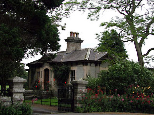 Prumplestown Housegate lodge · 691 yd
 Enclosure in Johnstown SouthEnclosure · 797 yd
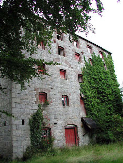 Prumplestown Millmill (water) · 953 yd
 Gorteen MoundCastle, unclassified · 1154 yd
 Oak Park Forest ParkWood · 1.9 mi
 ProclamationMemorial · 2.0 mi
 Franciscan FriaryHeritage attraction · 2.1 mi
 Castledermot Round TowerHeritage attraction · 2.3 mi
 CastleCastle, tower house · 2.4 mi
 European YewEuropean Yew · 2.4 mi
 Lorcán Ó TuathailMemorial · 3.1 mi