What is recorded here
Aerial photographs (CUCAP BGH 48, 51) show the cropmarks of parallel fosses, possibly representing two sides of an enclosed rectangular area or an abruptly curving trackway (est. max. dims. c. 120m NW-SE; 70m NE-SW). No visible surface traces.
Date of upload: 6 September 2016
The monument record does not grant public access. Check the route and ask the landowner before entering private land.
- What survives
- Recorded monument
Places near here
 Enclosure in Prumpelstown UpperEnclosure · 208 yd
 Enclosure in Johnstown SouthEnclosure · 493 yd
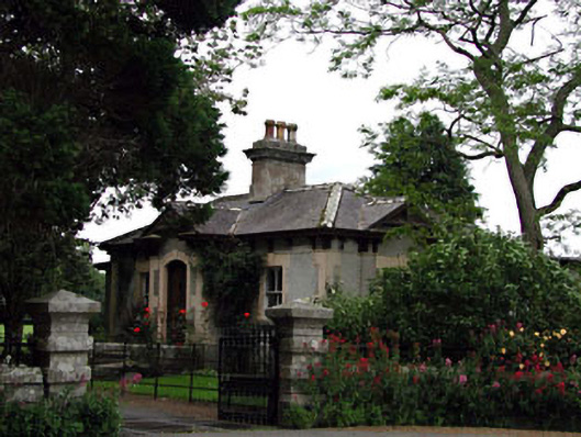 Prumplestown Housegate lodge · 561 yd
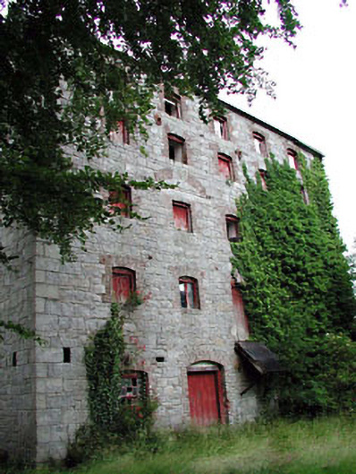 Prumplestown Millmill (water) · 732 yd
 Gorteen MoundCastle, unclassified · 1460 yd
 ProclamationMemorial · 1.9 mi
 Oak Park Forest ParkWood · 2.0 mi
 Franciscan FriaryHeritage attraction · 2.1 mi
 CastleCastle, tower house · 2.2 mi
 Castledermot Round TowerHeritage attraction · 2.2 mi
 Lorcán Ó TuathailMemorial · 2.9 mi
 Mullaghreelan WoodForest · 3.3 mi