What is recorded here
Prumpelstown Lower: Aerial survey in 1971 revealed field boundaries surrounding a church and graveyard, suggesting a settled landscape where worship and cultivation shared one organised space. The visibility of those boundaries in crop growth implies repeated human use across generations, even if no building still stands to mark the centre. What is recorded is a field system, not a village or farm, yet its shape points to domestic life sustained beside a sacred place.
Visible on an aeriaL photograph (CUCAP BGH:45 (1971) as the cropmark of a field system surrounding a church and graveyard (KD040-018001-).
Date of upload: 8 September 2016
The monument record does not grant public access. Check the route and ask the landowner before entering private land.
- What survives
- Recorded monument
Places near here
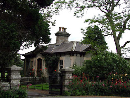 Prumplestown Housegate lodge · 335 yd
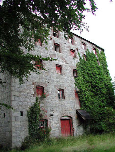 Prumplestown Millmill (water) · 580 yd
 Enclosure in Johnstown SouthEnclosure · 742 yd
 Gorteen MoundCastle, unclassified · 1625 yd
 ProclamationMemorial · 1.5 mi
 Franciscan FriaryHeritage attraction · 1.7 mi
 Castledermot Round TowerHeritage attraction · 1.8 mi
 Oak Park Forest ParkWood · 2.3 mi
 CastleCastle, tower house · 2.5 mi
 Lorcán Ó TuathailMemorial · 2.9 mi
 Mullaghreelan WoodForest · 3.2 mi