What is recorded here
Half a metre of earthen bank still bars the western throat of the promontory, though the sea gnaws both ends and the outer ditch has shallow to a palm’s depth. Inside, the land narrows and slopes eastward for twenty-five metres toward cliffs that drop on three sides, while High Island and Low Island float south in the distance. Whoever threw that bank into the pasture likely watched the water take it back, measure by measure, until only a ridge and a memory remained.
In rough pasture, on a promontory projecting E, with high cliffs on three sides, and with views S to High Island and Low Island. Near its W end, the promontory is defended by the remains of an earthen bank (L 6m N-S; Wth 2.1m; H 0.55m) both ends of which are being eroded by the sea. There is an outer fosse (L 6m N-S; Wth 1.8m; D 0.2m) as well as traces of a possible inner fosse (L 6m N-S; Wth 1m; D 0.1m). The interior narrows and slopes gently to the E for a distance of c. 25m.
The above description is derived from 'The Archaeological Inventory of County Cork. Volume 5' (Dublin: Stationery Office, 2009).
Date of upload: 22 December 2009
The monument record does not grant public access. Check the route and ask the landowner before entering private land.
- What survives
- Recorded monument
Places near here
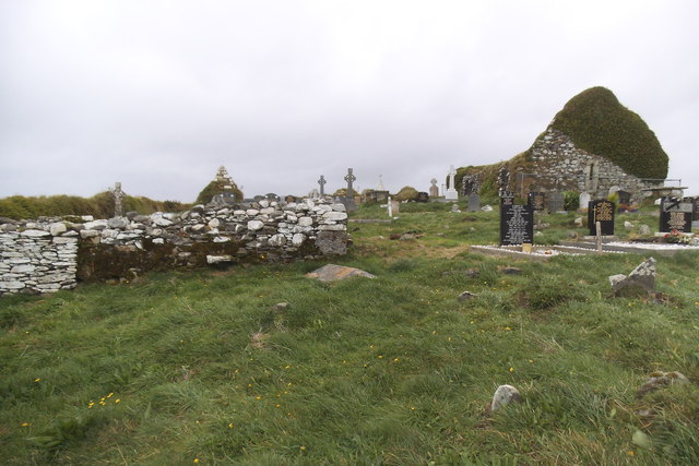 Grave YardGraveyard · 192 yd
 Myross ChurchRuins · 203 yd
 Cuaisín an GhainimhBay · 751 yd
 Rón CarraigIslet · 960 yd
 Faill a' TrahaneCliff · 966 yd
 Hut site in Reen (carbery West (e.d) By.)Hut site · 1147 yd
 Low IslandIslet · 1302 yd
 Chapel in Low IslandChapel · 1325 yd
 Cnoc Sheáin de BarraMountain / peak · 1363 yd
 An Gróibin ThuaidhWood · 1385 yd
 Trá na MuilleenBeach / strand · 1389 yd
 Tráig MórBeach / strand · 1389 yd