
What is recorded here
Identified from an aerial survey by Markus Casey who described this monument as a small S-facing triangular grass-covered promontory (dims. 19m N-S; 8m E-W) which has a low curving earthen bank (H 0.3m) running across the neck, with a vague depression outside it suggesting a former fosse. Inside the garth runs a low earthen mound (dims. 7m x 3m; H 0.5m) across the narrowing garth. This may be either the remains of a second bank or an internal division or structure. Not enough remains to ascertain its true nature. The headland continues SW for a further 40m as a line of inaccessible, nearly vertical, sea rocks, suggesting the promontory was larger when enclosed as a fort. A land commission earthen boundary runs along the cliff edges and the area is one of fertile pasture. Several similar headlands along this coastline are also enclosed. (Casey 2001)
Compiled by: Jean Farrelly
Date of upload: 24 November 2021
The monument record does not grant public access. Check the route and ask the landowner before entering private land.
- What survives
- Recorded monument
Places near here
 IndicatedPromontory fort, coastal · 569 yd
 Garrarus StrandBeach / strand · 899 yd
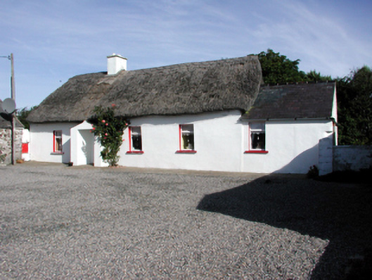 Historic buildingOfficially recorded historic building · 1221 yd
 Metal Man Towerbeacon · 1537 yd
 The Metal ManHeritage attraction · 1537 yd
 Newtown WoodsWood · 1.1 mi
 Site of Ancient Irish DwellingHut site · 1.1 mi
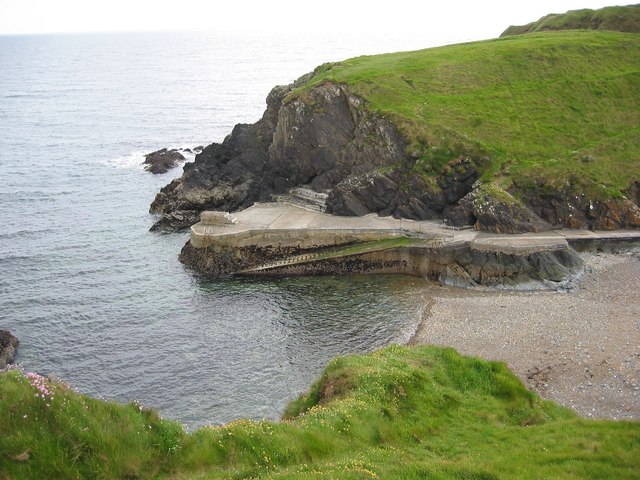 Newtown CoveBeach / strand · 1.2 mi
 Doneraile WalkWalking route · 2.1 mi
 Cannon GunBattlefield · 2.2 mi
 Fenor BogNature reserve · 2.5 mi
 Ballyscanlon HillMountain / peak · 2.5 mi
Other information
Photo: Credit not shown in the picture search · Rights wording not checked; contact us if this picture should be removed