
What is recorded here
Promontory fort stands on the E side of Dingle Harbour, a 42m tongue of land jutting into Dingle Bay. A 16m bank and shallow fosse cut it from the mainland, leaving a faint 1.5m break that may have been its entrance. The sea would have closed the gap at high tide, making the fort an island fortress where people watched ships, stored gear or simply kept others out.
On the E side of the entrance to Dingle Harbour, NW of Beenbane Head, a promontory juts 42m SW into Dingle Bay. It is isolated from the mainland by a bank and external fosse c. 16m long. The bank is 1.5m wide and 1.2m high above the base of the fosse. The fosse is 3m wide and less than .5m deep externally. About 7m from the NW end of the bank is a barely discernible break, c. 1.5m wide, which may represent the remains of a causewayed entrance. A hollow or depression on the SE of the interior is probably natural.
The above description is derived from J. Cuppage, ‘Corca Dhuibhne. Dingle Peninsula archaeological survey. Ballyferriter. Oidhreacht Chorca Dhuibhne’ (1986), no. 267. In certain instances the entries have been revised and updated in the light of recent research.
Date of upload: 4 August 2013
A promontory fort on the coast near Dingle Harbour, likely dating to the early medieval period, featuring an earthwork bank and fosse. Such sites were often defended settlements, and local tradition may associate them with ancient or supernatural inhabitants, though specific folklore is not recorded.
The monument record does not grant public access. Check the route and ask the landowner before entering private land.
- What survives
- Recorded monument
Places near here
 10Cliff · 545 yd
 Teach Solais an DainginLighthouse · 831 yd
 Man-made underground passage in An Bhinn Bhán (corca Dhuibhne)Man-made underground passage · 851 yd
 40Cliff · 969 yd
 Enclosure in An Bhinn Bhán (corca Dhuibhne)Enclosure · 988 yd
 Hussy's FollyHeritage attraction · 1245 yd
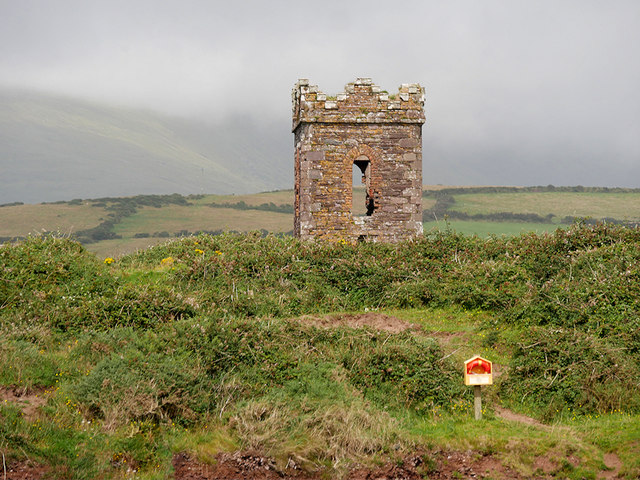 Hussey's Follyfolly · 1253 yd
 Ballintaggart Ogham StonesVisitor information · 1350 yd
 Cnoc na CeathrúnMountain / peak · 1.4 mi
 Memorial to all who lost their lives in our seas.Memorial · 1.7 mi
 Charles HaugheyMemorial · 1.8 mi
 Caol Cronin - SeascapesGallery · 1.9 mi
Other information
Photo: Credit not shown in the picture search · Rights wording not checked; contact us if this picture should be removed