What is recorded here
Round Island in County Fermanagh held a prehistoric settlement where early people shaped stone tools and watched the water. The official record preserves the site without naming its builders, but the shape of the place suggests patience, hunger and adaptability. Humans may have stood at that edge long before written history, reading the lake for permission to stay.
The official Northern Ireland record identifies this as PREHISTORIC SETTLEMENT SITE. Recorded period: PREHISTORIC. The official map point was placed at the centre of the recorded archaeological site from the source map reference.
The monument record does not grant public access. Check the route and ask the landowner before entering private land.
- What survives
- Recorded monument
Places near here
 Round IslandIslet · 44 yd
 STONE FIGURES IN CALDRAGH GRAVEYARD: BOA ISLAND in DreenanSTONE FIGURES IN CALDRAGH GRAVEYARD: BOA ISLAND · 317 yd
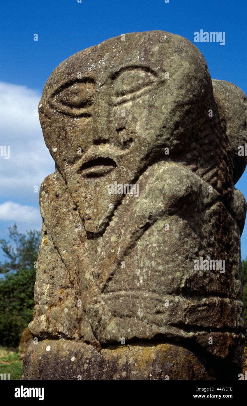 Boa Island FigureArchaeological place · 325 yd
 Sallow IslandIslet · 1193 yd
 PENITENTIAL STATION in Purgatory IslandPENITENTIAL STATION · 1306 yd
 InishturkWood · 1417 yd
 Muckross WoodWood · 1.1 mi
 Boa IslandIsland · 1.2 mi
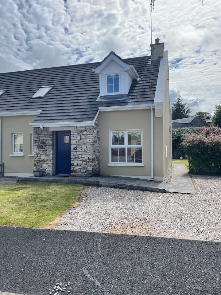 ENCLOSURE in PortnablahyENCLOSURE · 1.4 mi
 Inishkeeragh BridgeBridge · 1.6 mi
 Derrin MountainMountain / peak · 2.1 mi
 Castle McGrathCastle · 2.1 mi