What is recorded here
Fairy fort / earthen ringfort in Poulaculleare is a fairy fort or earthen ringfort in Poulaculleare, County Tipperary, Ireland. The oval enclosure measures 38.3 metres north-south and 30.3 metres east-west, bounded by an earthen and stone bank 1.7 metres wide at the crest and 3.8 metres at the base. The bank stands 0.72 metres high inside and 1.1 metres high outside, remains pronounced on the east side, and has been somewhat truncated on the west side where it serves as a field boundary. Stone revetting survives on the external face in the northeast and west quadrants, a post and wire fence crosses the west bank, and a gap about 3 metres wide in the south quadrant may be the original entrance.
On a W-facing slope, near the crest of a gently sloping ridge, in undulating pastureland. This oval area (diam. 38.3m N-S; 30.3m E-W) is defined by an earthen and stone bank (Wth 1.7m crest, 3.8m base; int. H 0.72m; ext. H 1.1m) which is quite pronounced on the E side, but has been somewhat truncated on the W side where it serves as a field boundary. Stone revetting survives on the external face of the bank in the NE and W quadrants. The interior is clean of vegetation, except for a clump of brambles in the SE quadrant. There are some mature oak trees growing on the bank. The W bank is surmounted by post and wire fencing. There is a gap in the bank in the S quadrant (Wth c. 3m) which may be the orginal entrance.
Compiled by: Jean Farrelly
Date of upload: 07 January 2014
The monument record does not grant public access. Check the route and ask the landowner before entering private land.
- What survives
- Recorded monument
Places near here
 IndicatedEnclosure · 431 yd
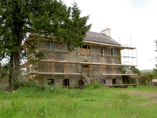 Millgrove Househouse · 641 yd
 Church (in ruins)Church · 1071 yd
 Ecclesiastical enclosure in WhitechurchEcclesiastical enclosure · 1101 yd
 Garrycloher WoodForest · 1.0 mi
 Bawn in CloheenafishogeBawn · 1.4 mi
 Knockane Castle ruinsCastle · 1.6 mi
 Boulakennedy WoodForest · 2.6 mi
 SlieveanardMountain / peak · 2.7 mi
 Slieveanard NE TopMountain / peak · 3.0 mi
 Cahir CastleHeritage attraction · 3.6 miSiege of Cahir Castlesiege · 3.7 mi