What is recorded here
Four shallow pits held charcoal, stone and one adolescent cremation, marking a small human claim on the Blackwater valley before the road took the land. The charred grain dated the place to the early twelfth century, yet no tool or vessel survived to explain who lived there or why they buried a young person beside ordinary soil. The valley still flows north of the cut, carrying what the pits could not say.
Situated on a slight rise in the valley of the River Blackwater, with a WNW-ESE section of the stream c. 400m to the N. Archaeological testing (04E1058) by G. McLoughlin (2005) at Testing Area 7 of Contract 5 of the M3 motorway identified archaeological features in a fairly limited area (dims c. 16m N-S; c. 8m E-W) that were completely excavated (E003180) by S. Rathbone in February 2007 (excavations.ie 2007:1376) as Pottlebane 2. A group of four pits (dims 0.34m; D 0.09m to 1.61m x 0.58-0.82m; D 0.26-0.38m) had each a single fill of silty or sandy clays with frequent stone inclusions and flecks of charcoal. The smallest pit had a small quantity of the cremated remains of an adolescent. Another had charred grain that produced a C14 date of 991-1157 cal. AD (Beta 247189), but no artefacts were recovered from any of the pits. (Rathbone 2008)
Compiled by: Michael Moore
Date of upload: 4 March 2022
The monument record does not grant public access. Check the route and ask the landowner before entering private land.
- What survives
- Recorded monument
Places near here
 Woodpole Fox CovertWood · 376 yd
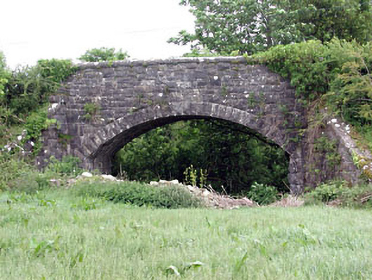 Woodpole Bridgebridge · 1295 yd
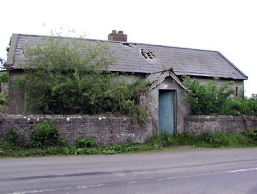 Woodpole National Schoolschool · 1637 yd
 FortsCastle, motte and bailey · 1699 yd
 IndicatedFairy fort / earthen ringfort · 1704 yd
 Mote of DerverArchaeological place · 1712 yd
 Balgree MoteCastle, motte · 1.1 mi
 Ballyhist WoodWood · 1.4 mi
 MaperathMountain / peak · 2.4 mi
 MountainpoleMountain / peak · 3.3 mi
 The Kieran Flanagan WayMemorial · 3.5 mi
 Great Famine ProjectMemorial · 3.5 mi