What is recorded here
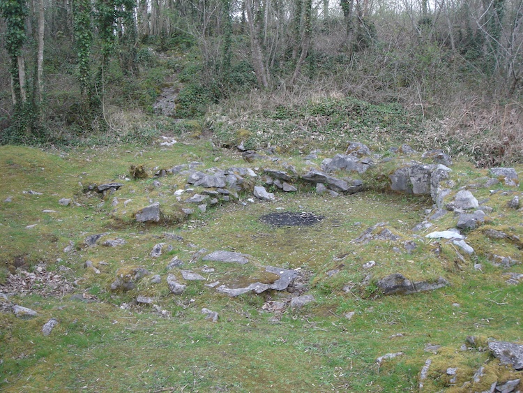
Ten metres of limestone rubble push outward from the missing rampart of Mooghaun hillfort, forming a D-shaped terrace where the defence line should have stood. A cashel sits slightly off-centre on the platform, with an older enclosure tucked beside it, as if the hillfort kept a room of its own outside the main wall. The shape suggests people wanted more space, not less, and they built it where the boundary disappeared.
Situated at the NW portion of the outer rampart of Mooghaun hillfort (CL042-074001-). This area was cleared of vegetation in the early 1990s as part of the North Munster Project of the Discovery Programme. The hillfort rampart appears to be absent in this location and instead there is a platform built of limestone rubble that extends 10m out from the line of the rampart, forming a D-shaped extension to the natural terrace. A cashel (CL042-074004-) is placed on the platform, though not centrally and an earlier enclosure (CL042-074003-) was revealed extending slightly S and E of the cashel. (Condit and Grogan 2005, 125)
Compiled by: Mary Tunney
Date of upload: 6 January 2016
The monument record does not grant public access. Check the route and ask the landowner before entering private land.
- What survives
- Recorded monument
Places near here
 Mooghaun HillfortArchaeological place · 187 yd
 IndicatedHillfort · 212 yd
 Mooghaun WoodsWood · 322 yd
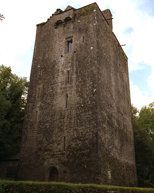 Mooghaun castleCastle · 333 yd
 Enclosure in Mooghaun SouthEnclosure · 431 yd
 Castle (in Ruins)Castle, unclassified · 1566 yd
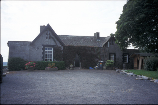 Glenviewrailway station · 1.5 mi
 belvederebelvedere · 1.5 mi
 HawthornHawthorn · 1.8 mi
 Quin AbbeyHeritage attraction · 2.6 mi
 G.A.A. Commemorative StoneMemorial · 4.2 mi
 Irish Famine MemorialMemorial · 4.2 mi