What is recorded here
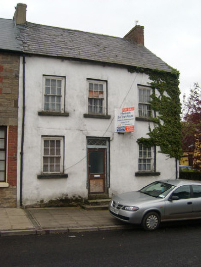
End-of-terrace three-bay two-storey house with attic level, built c. 1830. Now out of use. One of a terrace of four along with buildings adjoining to the west (not in survey). Pitched natural slate roof having projecting eaves course, cast-iron rainwater goods, and with red brick chimneystack to the east gable end and rendered chimneystack to the east end. Smooth rendered finish over projecting plinth; render failing in places exposing coursed squared rubble stone construction with roughly dressed flush quoins to the corners at the east end. Square-headed window openings with stone sills and six-over-six pane timber sash windows with exposed sash boxes. Central square-headed doorway having replacement door with overlight having timber diagonal glazing. Road-fronted to the west of Pettigoe town centre. Garden to rear (north).
Despite being now out of use, this modest building, of early-to-mid nineteenth century appearance retains its early form and character. Its architectural integrity is enhanced by the retention of much of its early fabric, including timber sliding sash windows with exposed sash boxes and natural slate roof. The overlight to the door having diagonal glazing patter adds a hint of decorative interest to this otherwise plain building. This building is the best surviving example along a terrace of buildings, its neighbours to the west having been altered with the loss of much of their early character. Building of this type were, until recently, a ubiquitous feature of small Irish towns and villages but are now becoming increasingly rare survivals due to insensitive alteration and demolition. Sensitively restored, this simple building would make a positive contribution to the streetscape to the west of Pettigoe, and it is a modest addition to the built heritage of the local area.
This does not grant access. Most recorded buildings are privately owned; view them only from public ground unless the owner allows entry.
Places near here
 The Fisherman's Lodgeschool · 39 yd
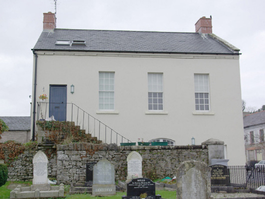 court housecourt house · 82 yd
 Drumharriff WoodForest recreation place · 303 yd
 Castle McGrathCastle · 1.2 mi
 Smiths RocksIsland · 1.5 mi
 Teige's RockIsland · 1.5 mi
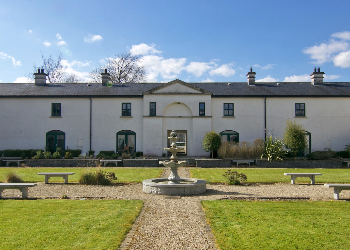 ENCLOSURE in DrumlongfieldENCLOSURE · 1.6 mi
 Cross in Carn (pettigoe Ed)Cross · 1.7 mi
 Boa IslandIsland · 2.2 mi
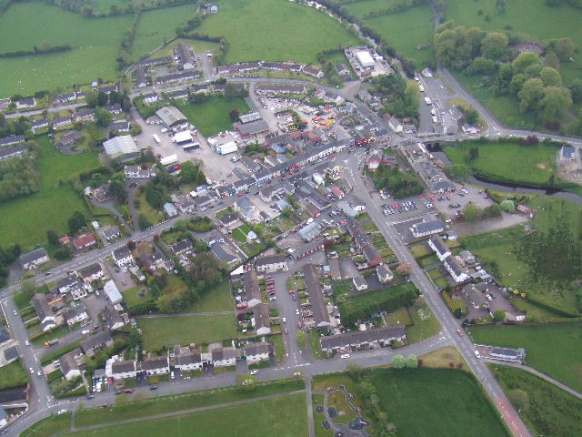 Kesh ForestForest · 2.6 mi
 Derrin MountainMountain / peak · 3.2 mi
 STONE FIGURES IN CALDRAGH GRAVEYARD: BOA ISLAND in DreenanSTONE FIGURES IN CALDRAGH GRAVEYARD: BOA ISLAND · 3.3 mi
Other information
Photo: National Inventory of Architectural Heritage · Website use allowed for educational or private purposes with source credit