
What is recorded here
Patrickstown Hill still holds a flat-topped motte, misread for centuries as one of the Slieve na Calliagh cairns. Its grassy crown measures twelve metres across, rising five to seven metres above a thirty-five metre base, while a wide fosse circles the up-slope side and a faint bailey stretches southeast. Conwell labelled it Z in the 1860s, locking the mistake into local memory long before archaeology untangled the layers. The mound may have quarried its own top to feed that very ditch, turning a castle into a cairn through human hunger for stone.
Situated on the lower SE-facing slope of Patrickstown Hill. It has always been regarded as one of the Slieve na Calliagh cairns, being designated Z by Conwell (1866, 376-7; 1873, 69), but there is no indication of an earlier feature here. This is a flat-topped, grass-covered mound (diam. of top 12m; diam. of base 35m; H 5-7m) defined by wide fosse on the up-slope side SE-W-N, with the remains of an outer bank at NW. The top of the motte is quarried and spoil from this may have been dumped in the fosse at NW. There are slight traces of a bailey (dims 31m ENE-WSW; 24m NNW-SSE) to the SE defined by a possible bank at SSE.
The above description is derived from the published 'Archaeological Inventory of County Meath' (Dublin: Stationery Office, 1987). In certain instances the entries have been revised and updated in the light of recent research.
Date of revised upload: 8 January 2019
The monument record does not grant public access. Check the route and ask the landowner before entering private land.
- What survives
- Recorded monument
Places near here
 IndicatedEnclosure · 744 yd
 CrossCross, Wayside cross · 779 yd
 Oliver Plunkett memorialMemorial · 785 yd
 Slieve Na CalliaghMountain / peak · 1.2 mi
 Loughcrew Megalithic TombsHeritage attraction · 1.2 mi
 Largan WoodWood · 1.5 mi
 Drumlerry WetlandForest · 1.6 mi
 LoughcrewMegalithic tomb cemetery · 1.9 mi
 Church in BobsvilleChurch · 2.0 mi
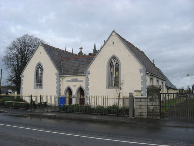 Ballinlough National Schoolschool · 2.1 mi
 Carnbane WestMountain / peak · 2.1 mi
 C11Named rock · 2.1 mi
Other information
Photo: Bob Embleton · CC BY-SA 2.0