What is recorded here
A possible enclosure was identified by C. O'Rahilly, in the Environmental Impact Study on the Route of the Proposed Nenagh By-Pass, Northern and Southern Routes which was undertaken in July 1994. An unusual kick in the field boundary on the N side may indicate the presence of a small enclosure located inside the field. On the first edition of the OS 6-inch map the field boundary kicks out in a polygonal shape. This polygonal-shaped field boundary is clearly shown on the revised 25-inch OS map. Present remains consist of a low elevated platform (dims. 15m N-S; 18m E-W) defined by a low earth and stone bank mainly reduced to a scarp (H 0.4m) with a wide water-logged fosse (Wth 11m; D 0.4m) visible on S side of platform only. Field boundary respected the presence of this low platform and formed a polygonal shaped field boundary around the low elevated platform. A pathway is depicted running past this earthwork on the W side on the first ed. OS 6-inch map. Traces of this metalled pathway can still be seen today.
Compiled by: Jean Farrelly and Caimin O'Brien
Date of upload/revision: 04 February 2014
The monument record does not grant public access. Check the route and ask the landowner before entering private land.
- What survives
- Recorded monument
Places near here
 Richmond Ho.House, fortified house · 993 yd
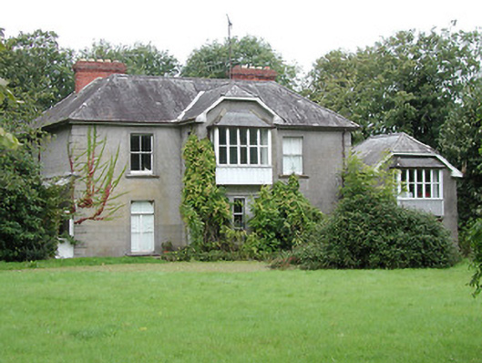 Brook Watson Househouse · 1294 yd
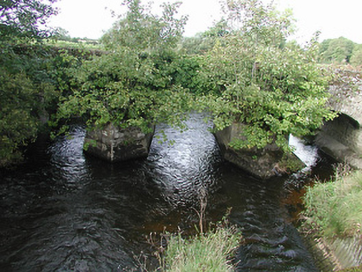 Nenagh Bridgebridge · 1520 yd
 St. Johns WellHoly well · 1568 yd
 Nenagh Heritage CentreMuseum · 1.0 mi
 Nenagh CastleCastle · 1.1 mi
 Old BarracksHeritage attraction · 1.1 mi
 Enclosure in Rathnaleen NorthEnclosure · 1.1 mi
 Knigh HillMountain / peak · 3.2 mi
 James Devaney MemorialMemorial · 3.6 mi
 Gibbet HillMountain / peak · 3.7 mi
 Blessed WellNature reserve · 3.9 mi