What is recorded here
Situated on top of a high ridge running NE-SW , with good views in all directions. Depicted as a circular enclosure annotated as a ‘Fort’ on the 1837 OS Fair Plan map. Depicted as a semi-circular enclosure on the 1837 ed. OS 6-inch map where the enclosing element is shown from S-W-N only. OD height of 361ft marked at centre of enclosure on the 1837 ed. OS 6-inch map. Not indicated on subsequent editions of the OS 6-inch maps. Site of monument visible as a low natural rise partly disturbed by quarrying at NW side. The poorly preserved remains of N-S earthen bank at the W end of the rise probably represents an old field boundary. A low irregular shaped mound (H 0.5m) with a low bank extending S (L 4-5m) from the base of the mound are the only features visible of this much degraded monument. Possible burial mound or barrow. Alternatively this earthwork may be related to the OS Ordnance Datum height of 361ft which is shown on the 1837 ed. OS 6-inch.
Compiled by: Frank Coyne and Caimin O'Brien
Date of upload: 28 April 2017
The monument record does not grant public access. Check the route and ask the landowner before entering private land.
- What survives
- Recorded monument
Places near here
 Partially hachuredFairy fort / earthen ringfort · 592 yd
 Bawn in ArcherstownBawn · 826 yd
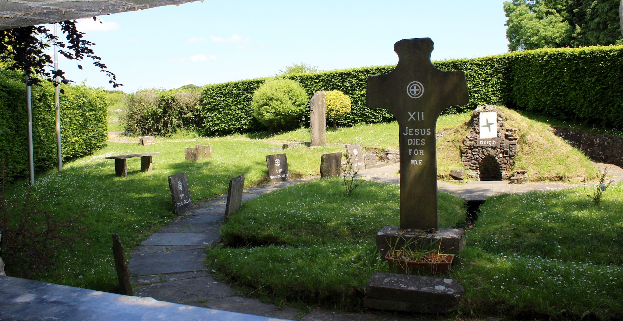 Ecclesiastical enclosure in ArcherstownEcclesiastical enclosure · 1202 yd
 Archerstown Church in ruinsChapel · 1214 yd
 Corn MillMill, unclassified · 1223 yd
 Clonarney Church (in Ruins)Castle, tower house · 1.3 mi
 The FurzeForest · 2.3 mi
 European ashEuropean ash · 2.4 mi
 The Sloe HillMountain / peak · 2.9 mi
 Kells HillMountain / peak · 2.9 mi
 Zip WireHeritage attraction · 6.3 mi
 LoughcrewMegalithic tomb cemetery · 6.6 mi