What is recorded here
In reclaimed grassland. Not depicted on 1840 ed. OSi 6-inch map. Partially hachured on Cassini ed. OSi 6-inch map where it is depicted as a small semi-circular shaped earthwork or mound transected at N by post-1700 field boundary running E-W. No surface remains visible of earthwork on Digital Globe orthoimage taken between 2011-13. Uncertain about antiquity of feature. This field is shown as a wooded area on 1840 ed. OSi 6-inch map. Shallow depression (diam. c. 17m) of levelled earthwork visible on Google earth orthoimage taken 18/11/2018.
See attached Google Earth orthoimages
Compiled by: Caimin O'Brien
Date of upload: 20 October 2021
The monument record does not grant public access. Check the route and ask the landowner before entering private land.
- What survives
- Recorded monument
Places near here
 Enclosure in BallintoberEnclosure · 1088 yd
 Earthwork in AhnagurraEarthwork · 1446 yd
 Ballintober Bridgebridge · 1.4 mi
 Site of Castle, Castle FieldCastle, unclassified · 1.8 mi
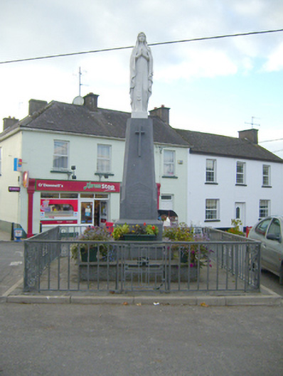 monumentmonument · 1.8 mi
 SlievereaghMountain / peak · 2.1 mi
 Ballyhoura WayWalking route · 2.6 mi
 Palatine's RockNamed rock · 2.8 mi
 Site of CastleCastle, unclassified · 3.3 mi
 Ballinvreena LoopVisitor information · 3.7 mi
 Keale MountainMountain / peak · 3.8 mi
 Ballyhoura tourist informationVisitor information · 4.0 mi