What is recorded here
Ringfort described by John Curran of the OPW as a lios which 'has only one circle four [1.2m] or five feet [1.5m] high the other circle is effaced. The diameter is ninety feet [30m]' (SMR File). Depicted as a circular shaped ringfort in NW corner of field intersected at W by a field boundary running N-S and at N by a field boundary running E-W on 1841 ed. OSi 6-inch map. On the revised ed. 1892 OSi 25-inch map the ringfort is depicted as a semi-circular shaped earthwork truncated at N by field boundary running roughly E-W. Poorly preserved outline of scrub-covered earthwork (diam. c 29m) visible on Google Earth orthoimage taken 15/04/2020.
See attached Google Earth orthoimages
Compiled by: Caimin O'Brien
Date of upload: 23 May 2022
The monument record does not grant public access. Check the route and ask the landowner before entering private land.
- What survives
- Recorded monument
Places near here
 Enclosure in AughilsEnclosure · 1.5 mi
 CaherblaMountain / peak · 1.8 mi
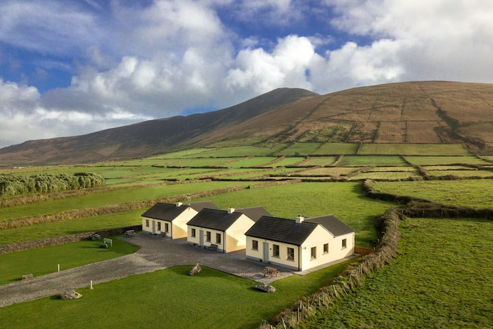 Habitation site in Ballyarkane OughterHabitation site · 2.0 mi
 LisnagraveArchaeological place · 2.3 mi
 Kilgarrylander Church (in ruins)Church · 2.4 mi
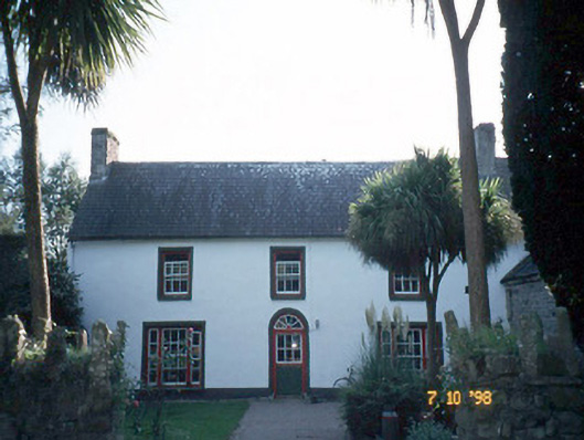 Keel Househouse · 2.5 mi
 Lack MountainMountain / peak · 2.5 mi
 Castle Drum (in ruins)Castle, unclassified · 3.1 mi
 Cromane PointHeadland · 3.2 mi
 Clash IslandIslet · 4.1 mi
 Cloon IslandIsland · 4.2 mi
 CastleCastle, tower house · 4.5 mi