What is recorded here
There are two 'farme houses ' marked on the Down Survey (1655-6) in the townland. The exact location of this monument is unknown.
Compiled by: Geraldine Stout
Date of upload: 26 August 2011
The monument record does not grant public access. Check the route and ask the landowner before entering private land.
- What survives
- Recorded monument
Places near here
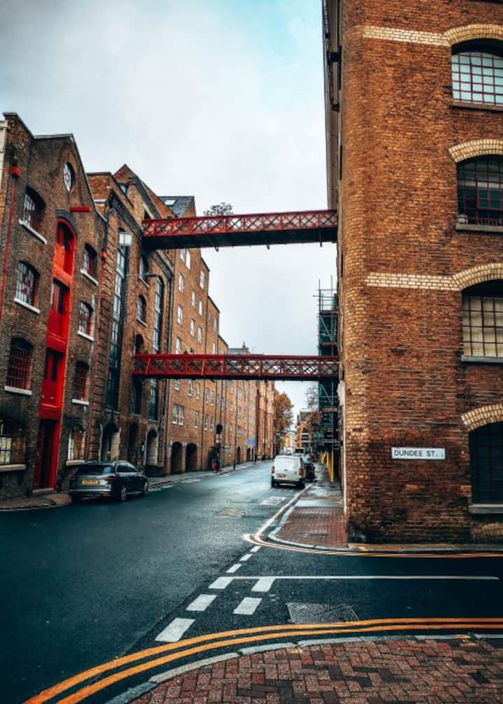 Enclosure in ParslickstownEnclosure · 116 yd
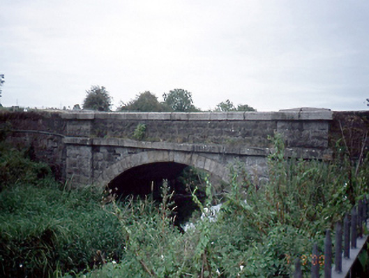 Mulhuddart Bridgebridge · 738 yd
 IndicatedDesigned landscape, tree-ring · 835 yd
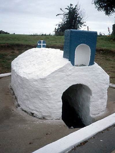 Lady's Wellholy well · 930 yd
 Graveyard in BuzzardstownGraveyard · 1174 yd
 TyrrelstownWood · 1354 yd
 Blanchardstown Centre information deskVisitor information · 1.2 mi
 Church, GraveyardChurch · 1.8 mi
 Luttrellstown CastleCastle · 2.6 mi
 Giant SequoiaGiant Sequoia · 2.7 mi
 Site of CastleCastle, tower house · 2.8 mi
 Griffeen Valley WalkWalking route · 4.6 mi