
What is recorded here
Indicated is a fairy fort in County Cork, Ireland. It is no longer a visible ring but a slight circular rise in farmland, with an old field fence possibly holding the last of its bank. The place has been levelled for cultivation, yet it remains marked on maps and remembered as a rath. What is left is enough to show that the land still carries the shape of what stood there before it was removed.
In tillage, on E-W ridge. Shown on all eds OS 6-inch map as slight curve in field fence. Levelled; site indicated by roughly circular, slightly raised area (26m N-S; 30m E-W); overgrown field fence WSW->E (H 2m) may retain original bank. Trace of fosse (D 0.2m) to E.
The above description is derived from the published 'Archaeological Inventory of County Cork. Volume 2: East and South Cork' (Dublin: Stationery Office, 1994). In certain instances the entries have been revised and updated in the light of recent research.
Date of upload/revision: 14 January 2009
The monument record does not grant public access. Check the route and ask the landowner before entering private land.
- What survives
- Recorded monument
Places near here
 Fulacht fia in ParkgarriffFulacht fia · 649 yd
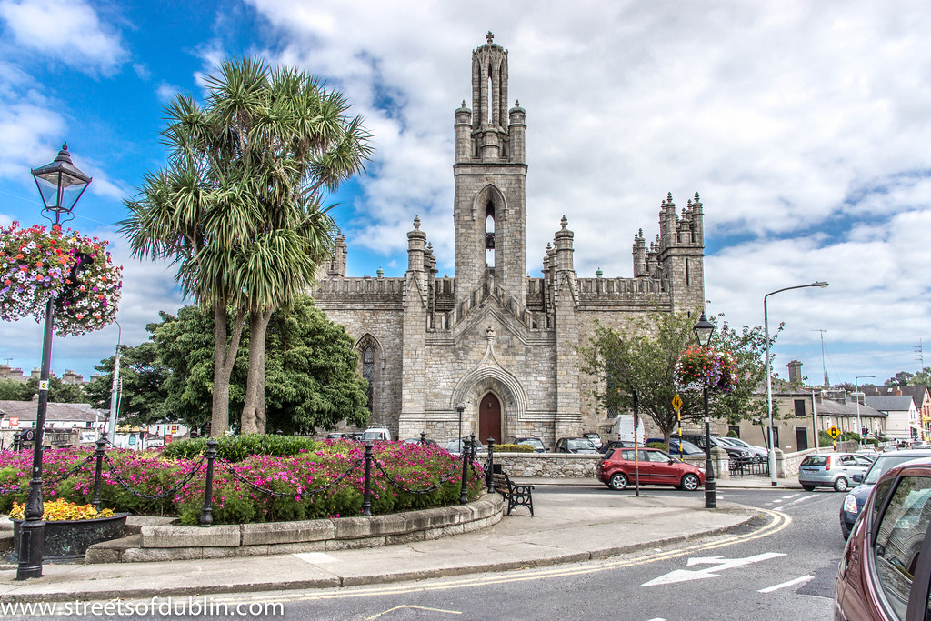 Monkstown Church (in Ruins)Church · 979 yd
 Castle Househouse · 981 yd
 Enclosure in BarnahelyEnclosure · 1.1 mi
 Passage West Maritime MuseumMuseum · 1.9 mi
 Rochestown WoodWood · 2.3 mi
 Thomas Kent StationMemorial · 5.8 mi
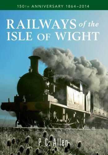 150th Anniversary of Railways in CorkMemorial · 5.8 mi
 Cork WalksVisitor information · 6.0 mi
 Tourist OfficeVisitor information · 6.2 mi
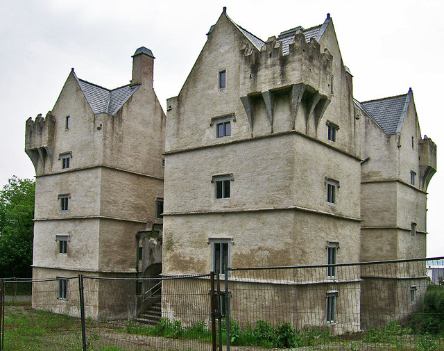 Monkstown Castlecastle/fortified house · 1066 yd
 sign postsign post · 1128 yd
Other information
Photo: Credit not shown in the picture search · Rights wording not checked; contact us if this picture should be removed