What is recorded here
Fairy forts are human ringforts misnamed because the fairies inherited them after people stopped using them. Parkgarriff kept a forty-metre circular enclosure on a south-facing slope, large enough for a household, a yard and the ordinary risks of country life. A bungalow occupies that memory now, yet a field fence still holds part of the ancient bank. The fairies did not create the fort; they entered the vacancy left behind when human hands withdrew.
In pasture, on S-facing slope. Shown on 1842 OS 6-inch map as circular enclosure (diam. c. 40m); as slight curve in NNW-SSE field fence on later eds OS 6-inch map. Modern bungalow now occupies site. SW->NW field fence (H 1.2m) retains original bank. Fosse (D 0.95m) outside bank.
The above description is derived from the published 'Archaeological Inventory of County Cork. Volume 2: East and South Cork' (Dublin: Stationery Office, 1994). In certain instances the entries have been revised and updated in the light of recent research.
Date of upload/revision: 14 January 2009
The monument record does not grant public access. Check the route and ask the landowner before entering private land.
- What survives
- Recorded monument
Places near here
 IndicatedFairy fort / earthen ringfort · 394 yd
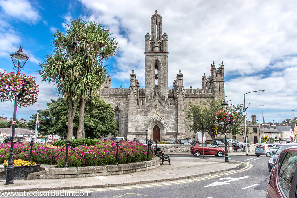 Monkstown Church (in Ruins)Church · 585 yd
 Castle Househouse · 593 yd
 Fulacht fia in ParkgarriffFulacht fia · 694 yd
 Cogan's CastleCastle · 2.3 mi
 Rochestown WoodWood · 2.3 mi
 Pauper's GraveyardArchaeological place · 2.7 mi
 Ballea CastleCastle, tower house · 3.7 mi
 Thomas Kent StationMemorial · 5.9 mi
 Cork WalksVisitor information · 6.2 mi
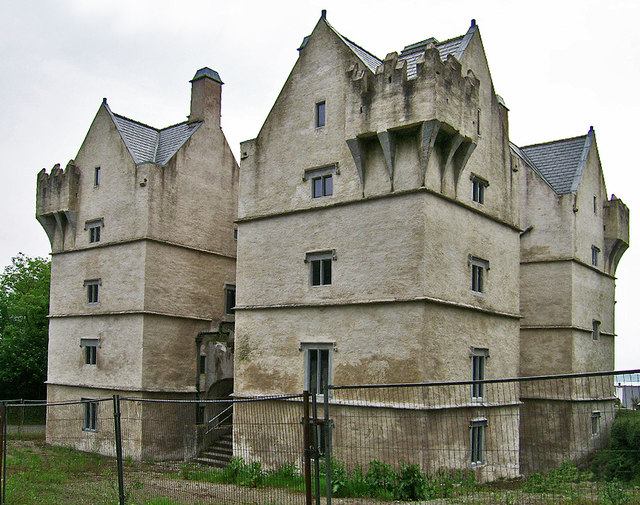 Monkstown Castlecastle/fortified house · 675 yd
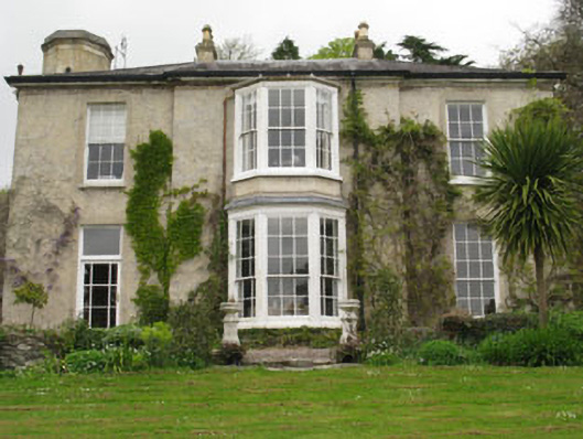 Ashleamhouse · 911 yd