
What is recorded here
Clear the chamber and mark the edge. The tomb is not a display; it is a boundary marker for the valley mouth. The completed chamber may have stood where the fallen stones still point. The valley, the chamber and the chamber's edge must remain visible together.
On the E side and near the mouth of the narrow river valley that runs between the two hills N of Owning. Comprising a ruined chamber facing SSE represented by a broken W portal, a door-stone, the W sidestone and a leaning-in backstone. The E portal is prostate and the adjoining E sidestone is displaced. The roofstone (L 2.9m; Wth 2.5m; T 0.5m), has been dislodged to the W and its upper end rests on the backstone and W sidestone. A large slab beside the tomb to the S may be the broken upper portion of the W portal. Fogarty records that the monument was intact until c. 1825-30 and that the roofstone 'rested level on 7 large flags' (c. 1850, 21, 54). (Fogarty c. 1850, 21, 54; Borlase 1897, vol. 2, 408, Iverk no. 3; Powell 1941, 22, no. 25; Ó Nualláin 1983, 97, no. 3)
Compiled by: Paul Walsh
Date of upload: 12 May 2021
Portal dolmen; Neolithic period. The structure's orientation and surviving portal stones indicate a typical megalithic tomb design found in Atlantic Europe, reflecting early communal burial practices.
The monument record does not grant public access. Check the route and ask the landowner before entering private land.
- What survives
- Recorded monument
Places near here
 Owning Portal TombArchaeological place · 2 yd
 ToberunnaHoly well · 258 yd
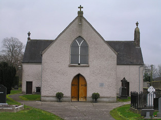 Catholic Church of the Assumptionchurch/chapel · 376 yd
 Owning Church (in Ruins)Church · 403 yd
 European YewEuropean Yew · 412 yd
 CastleCastle, unclassified · 1616 yd
 Burns WoodForest · 1.2 mi
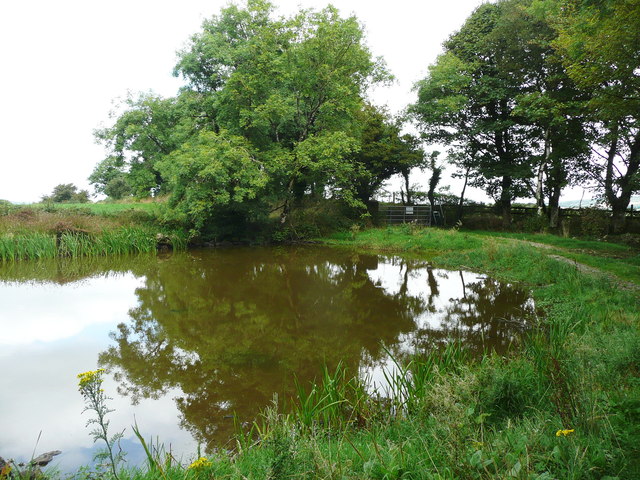 Dwyer Homestead and Pond, BregaunVisitor information · 1.4 mi
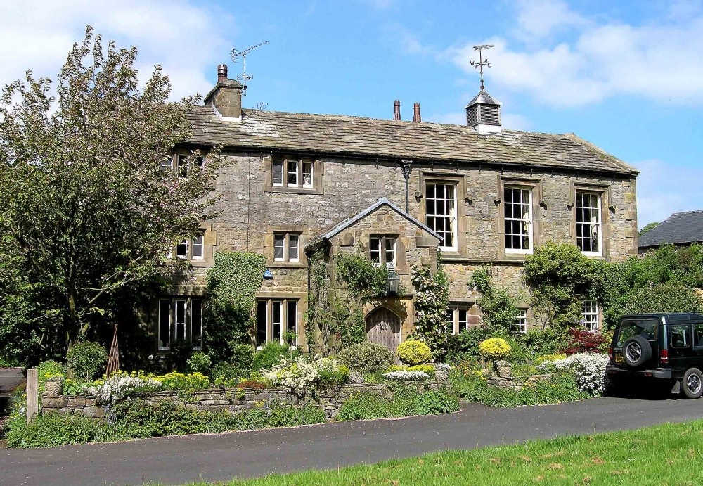 Old Court (Site of)Castle, unclassified · 1.4 mi
 Kilmacoliver HillMountain / peak · 1.5 mi
 Kilkieran CrossesHeritage attraction · 1.8 mi
 Woodland LoopWalking route · 1.9 mi
Other information
Photo: A.-K. D. · CC BY-SA 4.0