What is recorded here
In tillage. A roughly circular enclosure (diam. c. 25m) identified as the cropmark of a fosse on an aerial photograph (CUCAP BGG024, 16 July 1971). A concentric enclosure (KK023-016----) lies c. 130m to the WNW and another enclosure (KK023-018----), identified as cropmark, lies c. 120m to the S.
See attached:
KK023-017----_01 aerial photograph (CUCAP BGG024, 16 July 1971)
KK023-017----_02 aerial photograph (CUCAP BGG023, 16 July 1971)
KK023-017----_03 satellite imagery (Google Earth, imagery date 13 August 2015)
Compiled by: Jean Farrelly
Date of upload: 14 July 2021
The monument record does not grant public access. Check the route and ask the landowner before entering private land.
- What survives
- Recorded monument
Places near here
 Enclosure in Grevine EastEnclosure · 141 yd
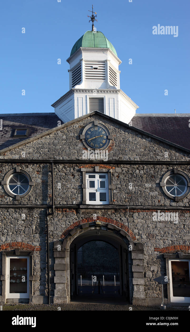 Concentric enclosure in OutrathConcentric enclosure · 194 yd
 Saint Joseph's Catholic Churchchurch/chapel · 1028 yd
 Jamie BroderickMemorial · 1562 yd
 Birchfield Housefarmyard complex · 1743 yd
 HawthornHawthorn · 1.0 mi
 Castle BamfordCastle, tower house · 1.3 mi
 Kilkenny AirsoftHeritage attraction · 1.4 mi
 The N76 Callan Road Realignment SchemeMemorial · 1.7 mi
 Castle (in ruins)Castle, unclassified · 1.7 mi
 The FordVisitor information · 2.0 mi
 River LifeVisitor information · 2.0 mi