What is recorded here
Indicated is a cashel in County Clare, Ireland, where a late circular enclosure holds a much older semicircular mound. Westropp described that layered shape in 1905, while whitethorn, hazel and briars still choke the low-lying ground beside a vertical rock face. The stones may have kept cattle, people or memory; the gap at NE still suggests something living once moved through them.
In a low-lying and sheltered area located 100m to the SW of a vertical rock face and overgrown with whitethorn, hazel and briars and within a multiperiod field system (CL004-027001-). Hachured on the 1915 OS 6-inch map. Listed as ‘enclosure’ in the RMP (1996). Described by Westropp (1905, 345) as ‘a late circular enclosure with a much older-looking semicircular mound inside’.
An irregular shaped cashel (est. dims. c. 29m N-S; c. 28 E-W) defined by a wall (int. H 1m; ext. H 1.2m in SE) and a stone spread (T c. 2-2.5m; int. H 1.2m; ext. H 1.2m). The wall is best preserved at NW (L c. 15m; T 0.5m; ext. H 1.4m) but the upper sections are of dubious antiquity. A gap at NE may be for cattle. In the N of the cashel interior, an overgrown rectangular area (est. dims. c. 11m NE-SE; c. 8m NW-SE) is defined by a wall (T 3.9m at S; int. H 1.7m; ext. H 1.7m) which abuts the cashel. A hut site (CL004-055002-) is located c. 35m to the E and an enclosure (CL004-055003-) is located c. 77m to the NE.
Compiled by: Mary Tunney and Lynda McCormack
Date of upload: 28 September 2022
The monument record does not grant public access. Check the route and ask the landowner before entering private land.
- What survives
- Recorded monument
Places near here
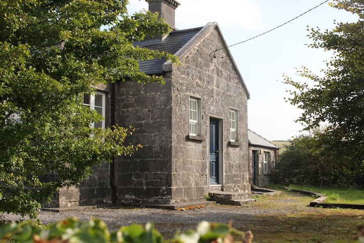 Enclosure in OughtdarraEnclosure · 175 yd
 IndicatedPromontory fort, inland · 336 yd
 OughtdarraCliff · 803 yd
 BallyryanCliff · 1265 yd
 The BurrenHeritage attraction · 1592 yd
 ( Poulomega ? )Cave · 1717 yd
 Ballinalacken CastleCastle · 1.2 mi
 Crumlin Church (in Ruins)Church · 1.3 mi
 Doolin Cave Visitor CentreHeritage attraction · 1.5 mi
 Doolin CaveCave · 1.5 mi
 CahernagrianFairy fort / stone ringfort · 466 yd
 Enclosure in Ballynalackan (cloghaun Ed)Enclosure · 1223 yd