
What is recorded here
Indicated is a long irregular enclosure on a narrow ridge in County Longford, where a thin earth and stone bank still marks the edge of a forgotten field or fort. Cattle have bitten through the bank in several places, and their hooves may have dug the shallow ditch written about elsewhere. The shape resists a clean drawing because it follows the ridge rather than a human plan, yet the bank still stands proud enough to touch.
On a N-S ridge in pasture. A raised irregular area (70.5m NW-SE; 56.5m NE-SW) enclosed by a bank of earth and stone (Wth 1.9-3m; H 0.2-0.9m) with numerous cattle-breaks. A report in 1976 (SMR file) recorded a wide, shallow, external fosse but this depression appears to be a consequence of cattle trampling. The circuit of the bank is roughly curvilinear from WNW-N-ESE. Elsewhere it comprises linear lengths: from ESE-S-SSW (L c. 41m), from SSW-SW-WSW (L c. 32m) and from WSW-W-WNW (L c. 19m). The original entrance is not recognisable. Although known of locally as a 'fort', it may be a landscape feature.
Compiled by: Patrick F. O'Donovan
Date of upload: 4 February 2012
The monument record does not grant public access. Check the route and ask the landowner before entering private land.
- What survives
- Recorded monument
Places near here
 Oldtown CopseWood · 535 yd
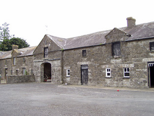 Oldtown Houseoutbuilding · 631 yd
 Oldtown DemesneForest · 707 yd
 LF014-105---- : Ringfort - rath : OLDTOWNArchaeological place · 771 yd
 LF014-104---- : Ringfort - rath : OLDTOWNArchaeological place · 1333 yd
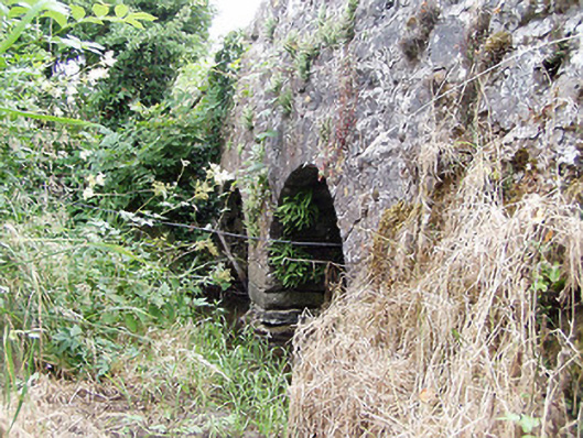 bridgebridge · 1396 yd
 Ardagh DemesneFort · 1.3 mi
 Bawn in LissardowlanBawn · 2.1 mi
 National Famine WayWalking route · 3.6 mi
 Saint Mel's CathedralCathedral · 5.0 mi
 First World War MemorialMemorial · 5.1 mi
 Graveyard in Curry (ardagh By., Coolamber Ed)Graveyard · 5.4 mi
Other information
Photo: Credit not shown in the picture search · Rights wording not checked; contact us if this picture should be removed