What is recorded here
Lea Castle still stands beside the buried town, but the fields around it have swallowed the streets, shops and houses that once crowded the bank of the River Barrow. For a time Lea was a marching place, a trading place and a target for raiders; then the water, the wars and the patience of grass did what fire had not finished. The great ash tree kept the memory alive long after the buildings disappeared, and even that has gone. What remains is a flat green edge of land where an whole town life still fits beneath the soil.
Unlocated settlement within the townland of Oldmill as mentioned in the OS letters where it is referred to in a seventeenth century indenture of Robert Piggott of the Disarte as the 'towne and lands of old mille' (O'Flanagan 1933, vol. 1, p. 97)
Compiled by: Caimin O'Brien
Date of upload: 17 December 2007
The monument record does not grant public access. Check the route and ask the landowner before entering private land.
- What survives
- Recorded monument
Places near here
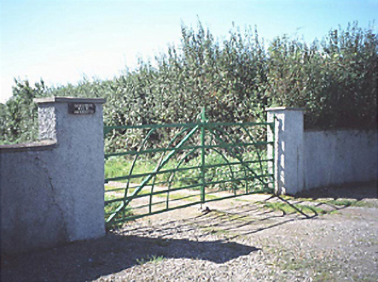 Raheenduff Househouse · 1096 yd
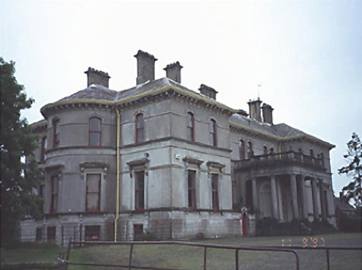 Stradbally Hallcountry house · 1220 yd
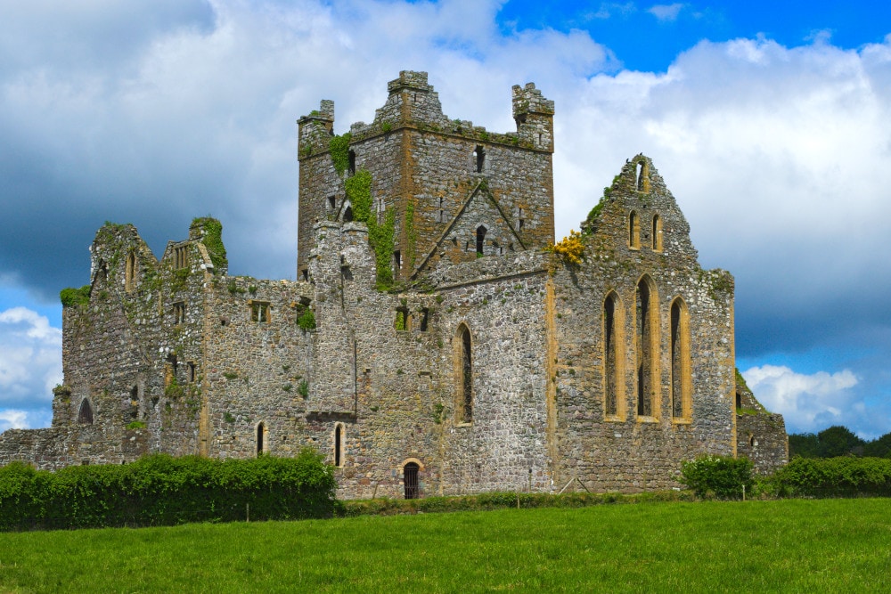 Enclosure in Raheenduff (stradbally By.)Enclosure · 1483 yd
 European BeechEuropean Beech · 1669 yd
 Enclosure in StradballyEnclosure · 1.0 mi
 Bawn in StradballyBawn · 1.2 mi
 Prospect Ho.Castle, unclassified · 1.2 mi
 CEMETERYGraveyard · 1.5 mi
 Oughaval Wood MapVisitor information · 1.7 mi
 Beech Way WalkWalking route · 1.9 mi
 Pedunculate OakPedunculate Oak · 1.9 mi
 Mass Rock WalkWalking route · 2.0 mi