
What is recorded here
Indicated is a long narrow fort in County Cavan, Ireland. It stretches forty-six metres and encloses a small area with an earthen bank, external trench and traces of an internal trench. People may have lived, hidden or marked territory there before the land was forgotten.
Known locally as a 'fort'. Irregular eglongated area (int. dims. 46.3m NNW-SSE; 18.5m ENE-WSW) enclosed by a narrow earthen bank with an external trench and traces of an internal trench.
The above description is derived from the published 'Archaeological Inventory of County Cavan' (Dublin: Stationery Office, 1995). In certain instances the entries have been revised and updated in the light of recent research.
Date of upload/revision: 22 December 2008
The monument record does not grant public access. Check the route and ask the landowner before entering private land.
- What survives
- Recorded monument
Places near here
 Oghill Bog WoodWood · 248 yd
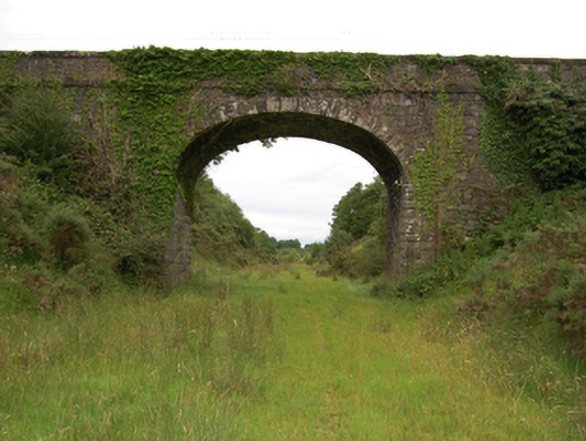 bridgebridge · 616 yd
 St Michael’s Roman Catholic Churchchurch/chapel · 1.4 mi
 Red IslandIslet · 1.5 mi
 BroomhillWood · 1.6 mi
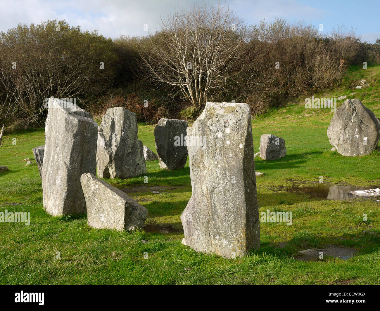 Druid's AltarArchaeological place · 2.0 mi
 DrumhawnaghMountain / peak · 2.0 mi
 Enclosure in KillycatronEnclosure · 2.2 mi
 DrumcarbanMountain / peak · 2.7 mi
 Lismore CastleCastle, unclassified · 3.5 mi
 Cornafean GFCMemorial · 3.9 mi
 Bawn in CastlepolesBawn · 3.9 mi
Other information
Photo: Credit not shown in the picture search · Rights wording not checked; contact us if this picture should be removed