What is recorded here
Ardcanaght I stands in a modern enclosure beside a rock-art stone, having lost its bottom and half its inscribed edge. The surviving fragment displays only V MAQI, meaning son of, while the final scores sink below ground. Men of the Tralee field club pulled these stones from a nearby burial ground in the 1940s, dragging a broken name into the light just enough to show it belonged to someone's father.
One of two ogham stones (see KE047-026003- for details of second stone) discovered by the Tralee field club in the 1940s in a nearby burial ground (KE047-037----, ‘Killeen Old Burial Ground’). Both are now located in a modern enclosure beside a standing stone (KE047-026---- with rock art (KE047-026002-). This ogham stone (0.42m (above ground) x 0.43m x 0.15m) is badly damaged with the bottom lost 'as well as about half of the inscribed edge of the surviving portion' (Macalister 1945, 241, no. 246a). All that survives of the inscription is: ...]V MAQI[... [Son of]. Only two scores of the final I remain and the V was below ground level on the last visit. Listed by Dr. White as Ardcanaght I. Cross-referenced with KE047-037001-.
This stone has been studied as part of the ‘Ogham in 3D’ project undertaken by the School of Celtic Studies, Dublin Institute for Advanced Studies. To access details go to the following website: https://ogham.celt.dias.ie/version2013/stone.php?lang=en&site=Ardcanaght&stoneinfo=description&stone=246a._Ardcanaght_I
Compiled by: Dr. Nora White
Date of upload: 25 January 2017
The monument record does not grant public access. Check the route and ask the landowner before entering private land.
- What survives
- Recorded monument
Places near here
 Killeen Old Burial GroundArchaeological place · 381 yd
 LissymaddiganArchaeological place · 1712 yd
 Site of Castle MaineCastle, Anglo-Norman masonry castle · 1721 yd
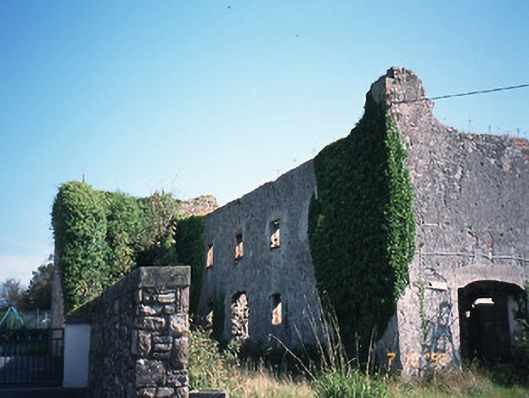 store/warehousestore/warehouse · 1.1 mi
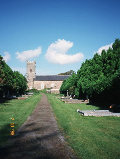 Saint Carthage's Church (Kiltallagh)church/chapel · 1.4 mi
 CastleCastle, tower house · 1.6 mi
 LisnagraveArchaeological place · 2.6 mi
 KnockmoyleMountain / peak · 3.1 mi
 Ballygamboon Forest Recreation AreaWood · 3.3 mi
 Clash IslandIslet · 3.7 mi
 GormaghMountain / peak · 4.0 mi
 Cloon IslandIsland · 4.1 mi