What is recorded here
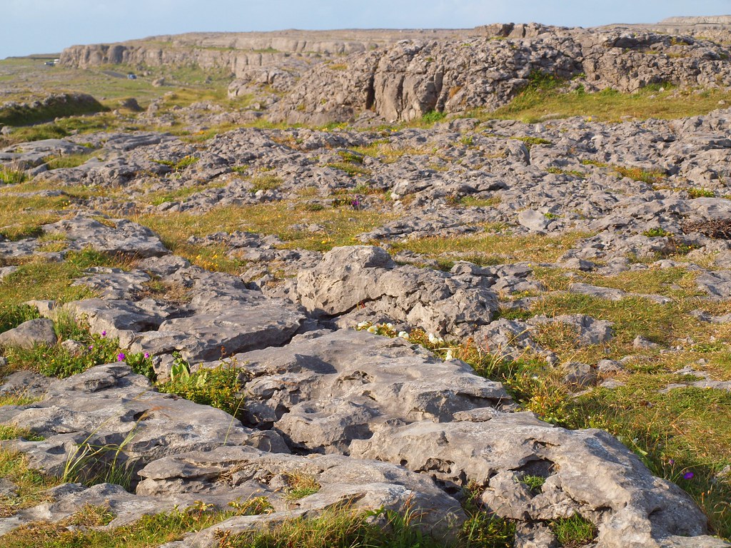
Mossy slabs lie prone or jut upright within grykes on a Clare plateau, marked as a cromlech on old maps but never proven as a tomb. Westropp watched the structure collapse between visits, suggesting human hands or brutal weather erased its shape before scholars could accept it. The stones may have marked a boundary, a burial or a forgotten ritual, yet they still hold the shelf against forgetting.
On a shelf on a plateau, in pasture within a large multiperiod field system (CL009-059001-). Indicated
and named ‘Cromlech’ on the 1897 OS 25-inch plan and the 1920 ed. of the OS 6-inch map.
Westropp (1897, 118) mentioned ‘an overthrown cromlech 7 feet by 12 feet’, but on a later visit he
found ‘the blocks of the dolmen uprooted and overthrown since 1897’ (Westropp 1915, 255). During
the Megalithic Survey of Ireland, de Valera and Ó Nualláin (1961, 93) concluded that there was
‘insufficient evidence for acceptance as a megalithic tomb.’ There are several moss-covered stones
and slabs (L 1.4-1.6m; Wth c. 1m; T 0.25m) here, generally lying prone and oriented N-S or E-W, with
some stones set upright in grykes. The site of an unclassified cairn (CL009-059040-) lies c. 46m to the WNW and Cahercutteen cashel (CL009-059039-) lies c. 60m to the NNW.
Compiled by: Mary Tunney
Date of upload: 9 February 2022
The monument record does not grant public access. Check the route and ask the landowner before entering private land.
- What survives
- Recorded monument
Places near here
 CahercutteenFairy fort / stone ringfort · 82 yd
 IndicatedEnclosure · 121 yd
 Noughaval Church (in ruins)Church · 586 yd
 Noughaval Crossmonument · 636 yd
 Site of Ballymurphy CastleCastle, tower house · 1.2 mi
 Ballyganner Castle (in ruins)Castle, tower house · 1.2 mi
 Cave of the Wild HorsesCave · 1.8 mi
 CaherconnellHeritage attraction · 2.3 mi
 High CrossHeritage attraction · 2.4 mi
 Burren Centre KilfenoraVisitor information · 2.5 mi
 Cullaun 5 (C5b)Cave · 3.2 mi
 Ballyteigue Nature ReserveNature reserve · 3.9 mi