What is recorded here
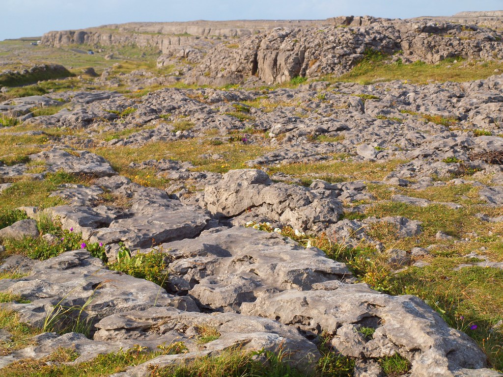
Cahercutteen is a well-preserved circular stone fort on a Clare pasture slope, facing Liscannor Bay. Its thick wall still holds three inner flights of steps, while a small cairn sits just west of the centre like a forgotten altar. The fort may have belonged to the common people of Noughaval, yet its exact purpose and date remain unknown.
On a slight rise towards the top of a gradual S-facing slope under pasture, with good views over Liscannor Bay c. 15km to the SW.
Hachured on the 1842 and 1920 eds. of the OS 6-inch map and named ‘Cahercutteen’ on the latter ed. According to Westropp (1909, 21), it was ‘called Cahirnegotten, Carriowenchotten, or Cahergotten in a patent granted to Donough, the great Earl of Thomond, in 1610.’ He also recorded several other variations of its name, including Cahercutteen, Cathair-a-cuiteen and Knockcutteen, all of which he translated as ‘the stone fort of the Common’ of Noughaval, and he noted that it was called ‘Knicknocktheen’ in Canon Dwyer’s ‘Handbook to Lisdoonvarna’. Westropp (ibid., 19-20) described the cashel as being ‘finely built’ with ‘the usual slight slope or batter’; on the inner face there was ‘a very narrow terrace’ or ‘ledge’ and ‘three flights of steps, built of large blocks’, lead to the summit’. A S-facing ‘gateway’, which opened into a stone-lined passageway, was intact in 1875 but shortly after that the lintels were thrown down to allow cattle access into the interior.
The cashel (ext. diam. 45m; int. diam. 38m), circular in plan, is still well preserved. It is defined by a wall (Wth 3–3.8m; ext. H 1–2m; int. H 1.5–2m) constructed of large internal and external facing-stones with a rubble core. It may be up to 3m high to the E but this is difficult to determine as a result of the accumulation of collapsed rubble against both wall-faces and the sloping nature of the ground. The entrance (Wth 1.6m) is at SE and is well defined but its outer edge is blocked up; a spread of collapsed material extends out from it. The three flights of steps (Wth 1m) noted by Westropp (ibid.) survive on the inner wall-face at E, SSE and NNW.
In the interior, just W of centre, there is a small cairn (diam. 4.8m; H 1m) of unknown date and function. An unclassified cairn (CL009-059040-) is located c. 18m to the S of the cashel and there is a hut site (CL009-059038-) c. 37m to the SSW, and a megalithic structure (CL009-0590042-) c. 60m to the SSE.
Compiled by: Mary Tunney, Olive Alcock and Ros Ó Maolduin
Date of upload: 27 September 2021
Cahercutteen is a ringfort situated in the Burren region, likely dating to the early medieval period. It is associated with local folklore surrounding fairy activity, common in such ancient sites in Ireland.
The monument record does not grant public access. Check the route and ask the landowner before entering private land.
- What survives
- Recorded monument
Places near here
 CaherwalshFairy fort / stone ringfort · 248 yd
 CaherkiltaanFairy fort / stone ringfort · 381 yd
 Noughaval Church (in ruins)Church · 514 yd
 Noughaval Crossmonument · 562 yd
 Site of Ballymurphy CastleCastle, tower house · 1.2 mi
 Ballyganner Castle (in ruins)Castle, tower house · 1.3 mi
 Cave of the Wild HorsesCave · 1.8 mi
 CaherconnellHeritage attraction · 2.3 mi
 Cahermacnaghten CashelHeritage attraction · 2.4 mi
 Burren Centre KilfenoraVisitor information · 2.5 mi
 Cullaun 5 (C5b)Cave · 3.1 mi
 Ballyteigue Nature ReserveNature reserve · 3.9 mi
Other information
Photo: Credit not shown in the picture search · Rights wording not checked; contact us if this picture should be removed