
What is recorded here
The official Northern Ireland record identifies this as a Grade B listed building. Current recorded use: Bank.
The official record and map point do not grant access. Many historic buildings are privately owned; view them only from public ground unless the owner allows entry.
Places near here
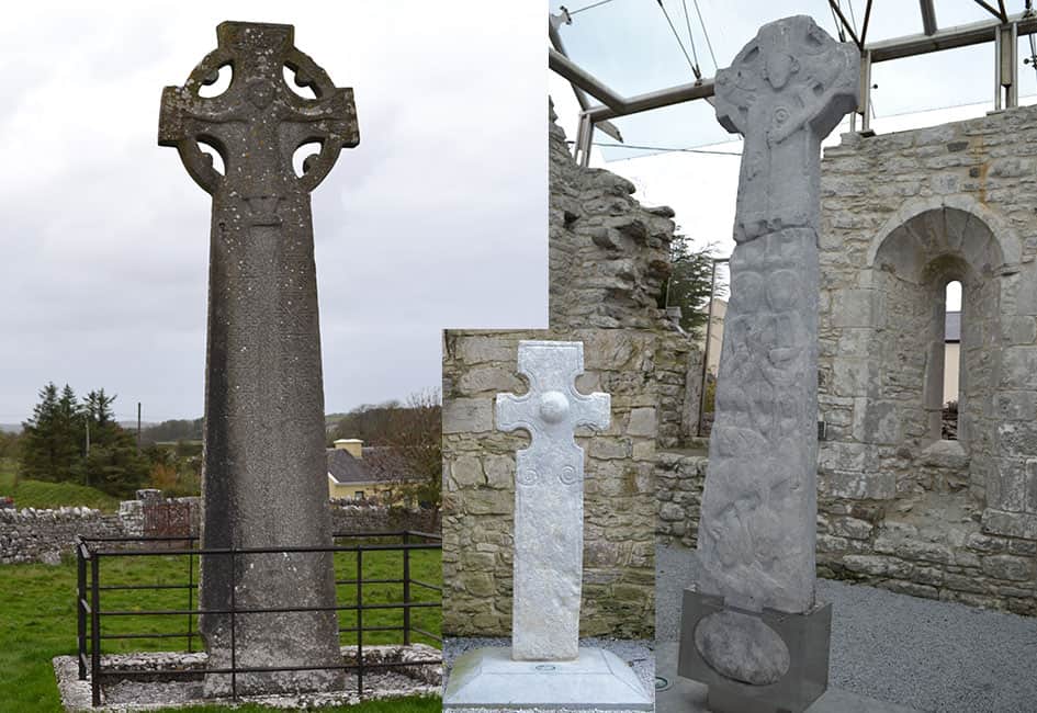 Celtic High CrossHeritage attraction · 42 yd
 Presbyterian ChurchChurch · 168 yd
 Ulster BankBank · 177 yd
 CASTLE: CASTLE BALFOUR in Castle Balfour DemesneCASTLE: CASTLE BALFOUR · 325 yd
 Castle BalfourCastle · 333 yd
 ENCLOSURE in SheebegENCLOSURE · 955 yd
 CAIRN & ENCLOSURESCAIRN & ENCLOSURES, INAUGURATION SITE: MOTE · 1007 yd
 Carrowhony Pet FarmHeritage attraction · 1.5 mi
 Rabbit IslandIsland · 2.8 mi
 Creaghanarourke IslandIsland · 2.9 mi
 Toners WoodWood · 4.3 mi
 Coolnasillagh ForestForest · 4.3 mi
Other information
Photo: Kenneth Allen · CC BY-SA 2.0