
What is recorded here
Located on a fairly level landscape that was once demesne land of Newtown House. The cropmark of an oval enclosure (dims c. 45m NE-SW; c. 30m NNW-SSE) defined by a wide fosse (Wth c. 3m) is visible only on Apple Maps, which utilises a survey conducted by Blue Sky International during June 2018. The fosse can be seen only from NE-S-W but the rest of the perimeter is probably incorporated into a boundary with woodland bordering the old demesne. The narrower internal cropmark of a linear ditch is inside the fosse as straight sections at SE (L c. 22m) and S (L c. 20m). It was first reported by Matthew Mullen-Reynolds.
See the enhanced view attached from Apple Maps
Compiled by: Michael Moore
Date of upload; 21 January 2020
The monument record does not grant public access. Check the route and ask the landowner before entering private land.
- What survives
- Recorded monument
Places near here
 Monastery (Site of)Religious house, Augustinian canons · 152 yd
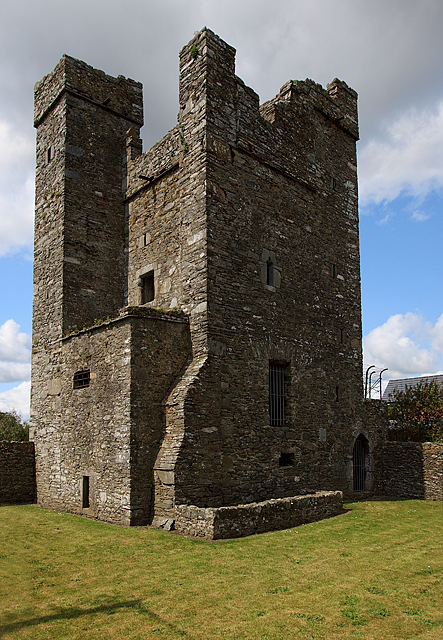 CastleCastle, tower house · 264 yd
 Termonfeckin CastleCastle · 264 yd
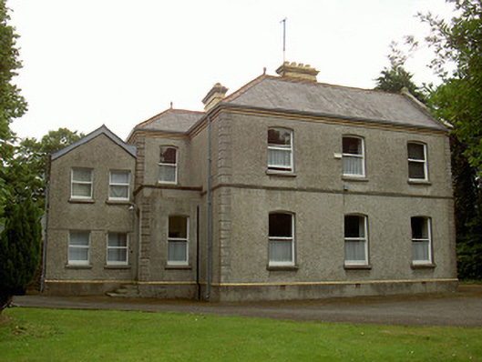 Catholic Church of the Immaculate Conceptionpresbytery/parochial/curate's house · 315 yd
 St. Feighins WellHoly well · 364 yd
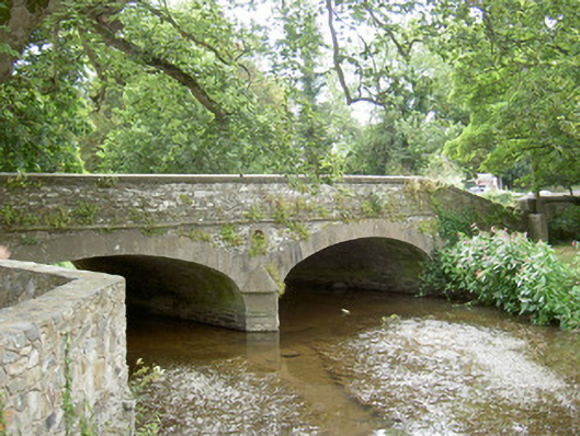 bridgebridge · 381 yd
 Beaulieu House and GardensHeritage attraction · 2.3 mi
 Chapel (in Ruins), GraveyardChurch · 4.2 mi
 Moneyveg WoodForest · 5.1 mi
 Newgrange Business ParkMemorial · 5.8 mi
 Yellow IslandIslet · 6.0 mi
 MonasterboiceEarly monastic site · 6.2 mi
Other information
Photo: Credit not shown in the picture search · Rights wording not checked; contact us if this picture should be removed