What is recorded here
Lios an Boirnín still holds a square cave mouth on a steep Clare slope, waiting for someone brave enough to stop pretending the ground is ordinary. The ringfort has watched herds move across good pasture since before maps learned its name, yet the small dark chamber remains untouched and unexplained. Perhaps it served as a hiding place during storms or a quiet chamber for thought, but that much is still guesswork. What is certain is that the earth itself shaped an entrance and has kept it closed to everyone who passed without looking down.
On good pastureland, near the top of a low but moderately steep NE-facing slope within a ringfort (CL005-004----). The ringfort is hachured and named ‘Lissavorneen’ on the 1842 and 1915 eds. of the OS 6-inch maps and named ‘Lios an Boirnín on Robinson’s map (1977). The Man-made underground passage is not marked on the 1842 ed. of the OS 6-inch map but is indicated and named ‘cave’ on the 1915 ed. A square depression (1m x 1m; D 0.7m) with some drystone walling on its S side is visible in the SW sector of the ringfort.
Compiled by: Mary Tunney and Ros Ó Maoldúin
Date of upload: 15 December 2020
The monument record does not grant public access. Check the route and ask the landowner before entering private land.
- What survives
- Recorded monument
Places near here
 LissavorneedFairy fort / earthen ringfort · 14 yd
_-_geograph.org.uk_-_6978570.jpg?width=1280) Finavarra Housecountry house · 345 yd
Finavarra Housecountry house · 345 yd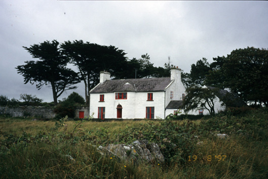 Mount Vernon Lodgehouse · 760 yd
 Donoghmore ODalys MonumentLeacht cuimhne · 842 yd
 The Russell GalleryGallery · 1128 yd
 Muckinish PointHeadland · 1192 yd
 Shanmuckinish CastleCastle, tower house · 1714 yd
_-_geograph.org.uk_-_5527885.jpg?width=1280) IndicatedBawn · 1721 yd
IndicatedBawn · 1721 yd Saint Patrick's ChurchHeritage attraction · 1.7 mi
 Battle of Lough Raskabattle · 2.3 mi
 Abbey HillMountain / peak · 2.4 mi
 Moneen MountainMountain / peak · 2.5 mi